
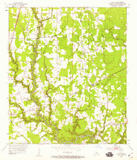
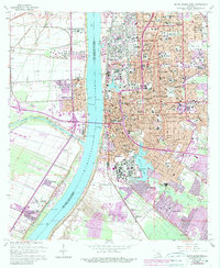
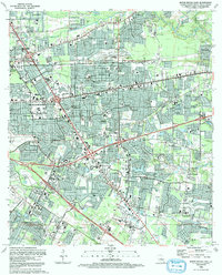
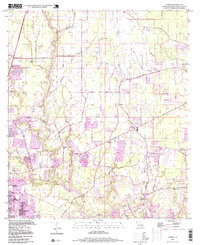
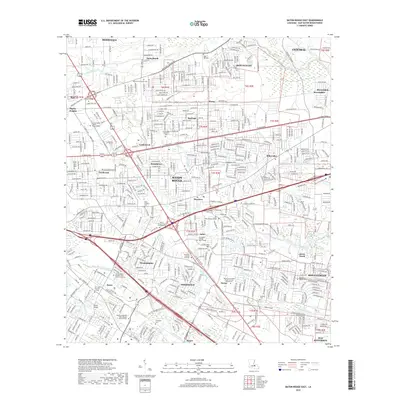
1995 Map of Scotlandville
USGS Topo · Published 1998About this map
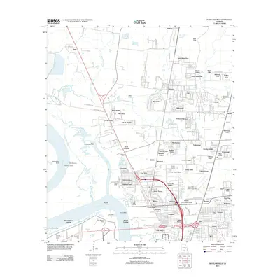
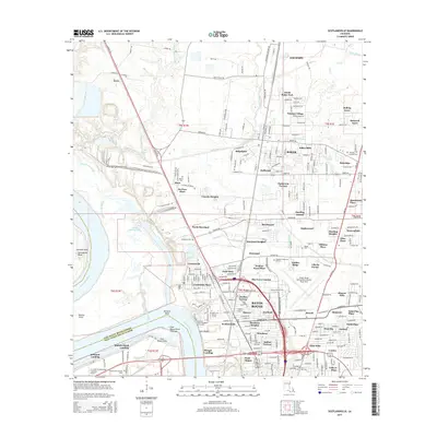
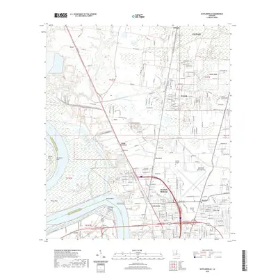
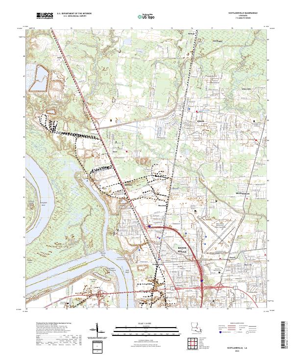
Southern University and the extensive grounds of the State Industrial School for Boys anchor the northern reaches of East Baton Rouge Parish in this late-century landscape. The Mississippi River defines the western edge, where its meandering course creates significant features like Solitude Point and Free Negro Point, names that reflect the region's complex social and geographic history. Industrial activity is concentrated along the river and rail corridors, including the Mengel Plant and various settling basins.
Find a feature on this map
79 named features on this map. Tap any name to fly to it.
Don’t see what you’re looking for? This feature index may not catch every label — zoom into the map to look around manually.
Map Details
Editions of this 1995 Scotlandville Map
This is the sole edition of this map. No revisions or reprints were ever made.
Historical Maps of Baton Rouge Through Time
50 maps found

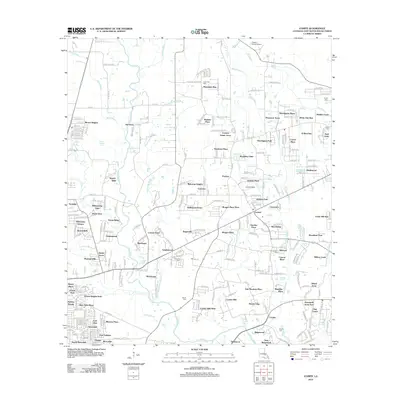
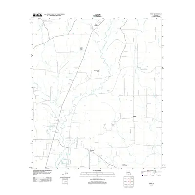
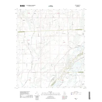
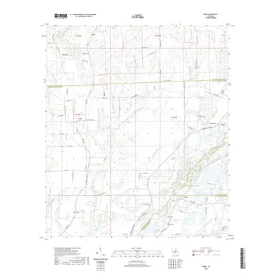
1942 Pride
East Baton Rouge Parish, LA

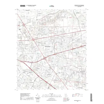
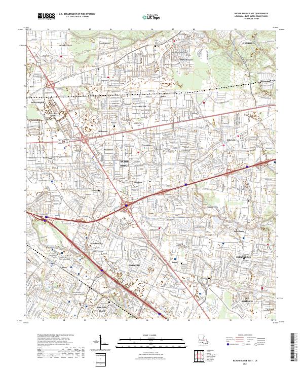
1953 Baton Rouge East
East Baton Rouge Parish, LA

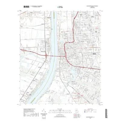
1953 Baton Rouge West
East Baton Rouge Parish, LA
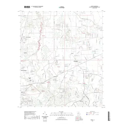
1953 Comite
East Baton Rouge Parish, LA

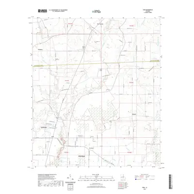
1954 Fred
East Baton Rouge Parish, LA
1954 Pride
East Baton Rouge Parish, LA

1954 Scotlandville
East Baton Rouge Parish, LA
1962 Comite
East Baton Rouge Parish, LA
1963 Baton Rouge East
East Baton Rouge Parish, LA
1963 Baton Rouge West
East Baton Rouge Parish, LA
1963 Fred
East Baton Rouge Parish, LA
1963 Scotlandville
East Baton Rouge Parish, LA
1980 Pride
East Baton Rouge Parish, LA
1992 Baton Rouge East
East Baton Rouge Parish, LA
1992 Baton Rouge West
East Baton Rouge Parish, LA
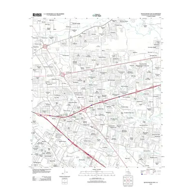
1995 Baton Rouge East
East Baton Rouge Parish, LA
1995 Baton Rouge West
East Baton Rouge Parish, LA
1995 Scotlandville
East Baton Rouge Parish, LA
1996 Comite
East Baton Rouge Parish, LA

1998 Fred
East Baton Rouge Parish, LA
2012 Baton Rouge East
East Baton Rouge Parish, LA

2012 Baton Rouge West
East Baton Rouge Parish, LA
2012 Comite
East Baton Rouge Parish, LA
2012 Fred
East Baton Rouge Parish, LA
2012 Pride
East Baton Rouge Parish, LA
2012 Scotlandville
East Baton Rouge Parish, LA
2015 Baton Rouge East
East Baton Rouge Parish, LA
2015 Baton Rouge West
East Baton Rouge Parish, LA
2015 Comite
East Baton Rouge Parish, LA
2015 Fred
East Baton Rouge Parish, LA
2015 Pride
East Baton Rouge Parish, LA
2015 Scotlandville
East Baton Rouge Parish, LA
2018 Baton Rouge East
East Baton Rouge Parish, LA
2018 Baton Rouge West
East Baton Rouge Parish, LA
2018 Comite
East Baton Rouge Parish, LA
2018 Fred
East Baton Rouge Parish, LA
2018 Pride
East Baton Rouge Parish, LA

2018 Scotlandville
East Baton Rouge Parish, LA
2020 Baton Rouge East
East Baton Rouge Parish, LA
2020 Baton Rouge West
East Baton Rouge Parish, LA
2020 Comite
East Baton Rouge Parish, LA
2020 Fred
East Baton Rouge Parish, LA
2020 Pride
East Baton Rouge Parish, LA
2020 Scotlandville
East Baton Rouge Parish, LA
2024 Baton Rouge East
East Baton Rouge Parish, LA
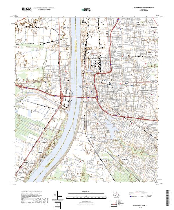
2024 Baton Rouge West
East Baton Rouge Parish, LA
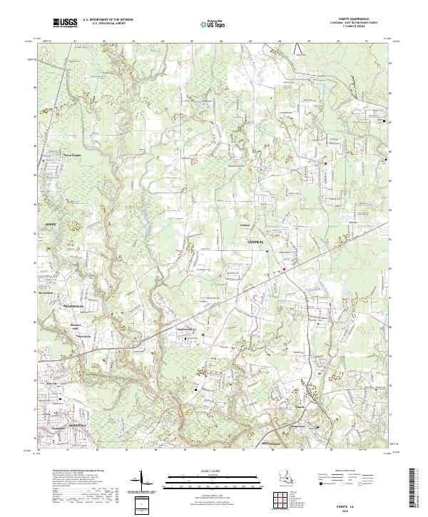
2024 Comite
East Baton Rouge Parish, LA
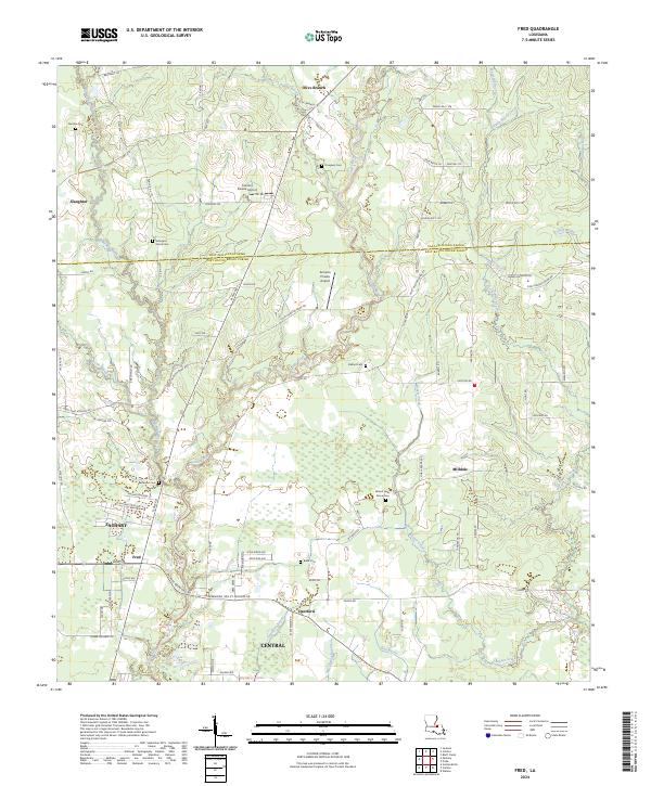
2024 Fred
East Baton Rouge Parish, LA
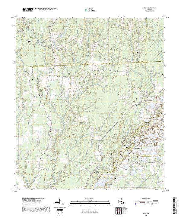
2024 Pride
East Baton Rouge Parish, LA
2024 Scotlandville
East Baton Rouge Parish, LA