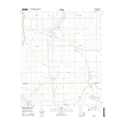
2015 Map of Scott
USGS Topo · Published 2015About this map
Deer Creek and its many branches, including the E Br Deer Cr, weave through this section of the Mississippi Delta along the border of Bolivar and Washington counties. The landscape is defined by its agricultural layout and small, dispersed settlements like Scott, Lamont, and Forkland. This 2015 data illustrates a region where water management remains central to the geography, evidenced by features such as Mound Crevasse and Grassy Lake.
Find a feature on this map
52 named features on this map. Tap any name to fly to it.
Don’t see what you’re looking for? This feature index may not catch every label — zoom into the map to look around manually.
Map Details
Editions of this 2015 Scott Map
This is the sole edition of this map. No revisions or reprints were ever made.
Other maps of this area

1933 · Lamont
USGS Topo · 1:62,500

1939 · Refuge
USGS Topo · 1:62,500

1939 · Lamont
USGS Topo · 1:62,500

1939 · Tralake
USGS Topo · 1:62,500

1939 · Choctaw
USGS Topo · 1:62,500

1953 · Greenwood
USGS Topo · 1:250,000

1956 · Greenwood
USGS Topo · 1:250,000

1967 · Stringtown
USGS Topo · 1:24,000

1967 · Leland
USGS Topo · 1:24,000

1967 · Lobdell
USGS Topo · 1:24,000