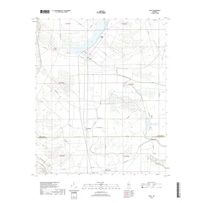
2018 Map of Scott
USGS Topo · Published 2018About this map
The Mississippi Delta landscape of northern Washington County and southern Bolivar County is defined by the sweeping curves of the Mississippi River levee system and fertile lowlands. Lake Bolivar and Lake Vista dominate the northern terrain, remnants of the river's historical meanders. The settlement pattern follows established routes like Levee Rd and Forkland Rd, connecting small communities such as Scott, Lamont, and Forkland. This 2018 survey reveals a territory dense with genealogical markers, including Williams Chapel Cem and Ward Chapel Cem. The intersection of drainage networks, such as Williams Bayou and Deer Cr, illustrates the sophisticated water management required in this alluvial plain. Family-named landmarks and rural connectors like Nokes Rd and Huddleston Rd provide a clear view of the region's contemporary rural structure.
Find a feature on this map
56 named features on this map. Tap any name to fly to it.
Don’t see what you’re looking for? This feature index may not catch every label — zoom into the map to look around manually.
Map Details
Editions of this 2018 Scott Map
This is the sole edition of this map. No revisions or reprints were ever made.
Other maps of this area

1933 · Lamont
USGS Topo · 1:62,500

1939 · Refuge
USGS Topo · 1:62,500

1939 · Lamont
USGS Topo · 1:62,500

1939 · Tralake
USGS Topo · 1:62,500

1939 · Choctaw
USGS Topo · 1:62,500

1953 · Greenwood
USGS Topo · 1:250,000

1956 · Greenwood
USGS Topo · 1:250,000

1967 · Stringtown
USGS Topo · 1:24,000

1967 · Leland
USGS Topo · 1:24,000

1967 · Lobdell
USGS Topo · 1:24,000