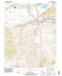
1993 Map of Scott City
USGS Topo · Published 1996About this map
Scott City and Illmo stand as significant rail and river hubs in this region just south of the Mississippi River. The landscape is dominated by the massive engineering of the Headwater Diversion Channel and Dutchtown Levee, which redirect local waterways including Ramsey Creek and Sals Creek to protect the low-lying agricultural plains. These projects illustrate the complex efforts to manage the river's influence on local development and infrastructure.
Find a feature on this map
35 named features on this map. Tap any name to fly to it.
Don’t see what you’re looking for? This feature index may not catch every label — zoom into the map to look around manually.
Map Details
Editions of this 1993 Scott City Map
This is the sole edition of this map. No revisions or reprints were ever made.
Other maps of this area

1920 · Jonesboro
USGS Topo · 1:62,500

1922 · Cape Girardeau
USGS Topo · 1:62,500

1923 · Jonesboro
USGS Topo · 1:62,500

1924 · Cape Girardeau
USGS Topo · 1:62,500

1934 · Thebes
USGS Topo · 1:62,500

1934 · Morley
USGS Topo · 1:62,500

1939 · Morley
USGS Topo · 1:62,500

1939 · Thebes
USGS Topo · 1:62,500

1947 · Jonesboro
USGS Topo · 1:62,500
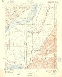
1947 · Mc Clure
USGS Topo · 1:24,000