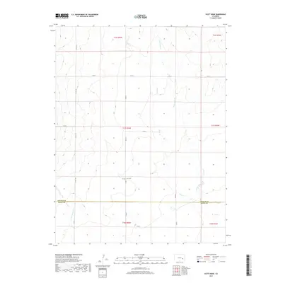
2019 Map of Scott Draw
USGS Topo · Published 2019About this map
Scott Draw and its drainage network define this expanse of the Colorado high plains as it appeared in 2019. The landscape is marked by the winding courses of Adobe Cr and its tributary, E Fork Adobe Cr, which carve through the terrain before crossing the Lincoln Co Kiowa Co boundary. This area serves as a transit corridor between rural townships, anchored by the north-south route of CO Hwy 109 and a system of gravel thoroughfares including CO Rd F and CO Rd D.
Find a feature on this map
20 named features on this map. Tap any name to fly to it.
Don’t see what you’re looking for? This feature index may not catch every label — zoom into the map to look around manually.
Map Details
Editions of this 2019 Scott Draw Map
This is the sole edition of this map. No revisions or reprints were ever made.
Other maps of this area

1889 · Sanborn
USGS Topo · 1:125,000

1891 · Sanborn
USGS Topo · 1:125,000

1891 · Catlin
USGS Topo · 1:125,000

1891 · Arroyo
USGS Topo · 1:125,000

1891 · Las Animas
USGS Topo · 1:125,000

1893 · Arroyo
USGS Topo · 1:125,000

1893 · Sanborn
USGS Topo · 1:125,000

1893 · Las Animas
USGS Topo · 1:125,000

1893 · Catlin
USGS Topo · 1:125,000

1954 · Lamar
USGS Topo · 1:250,000