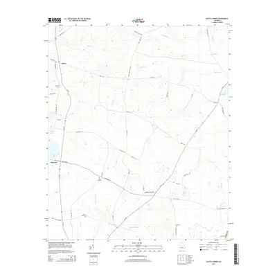
2014 Map of Scotts Corner
USGS Topo · Published 2014About this map
Scotts Corner serves as a central junction in this rural Burke County landscape, where the paths of Georgia Highway 56 and Georgia Highway 305 converge. The area is defined by a network of family and community landmarks, evidenced by several small burial grounds including Rosier Cem, Bark Camp Cem, and Cason Bynes Cem. These sites, along with the scattered settlements of Rosier and Magruder, reflect the agricultural and social history of the region.
Find a feature on this map
46 named features on this map. Tap any name to fly to it.
Don’t see what you’re looking for? This feature index may not catch every label — zoom into the map to look around manually.
Map Details
Editions of this 2014 Scotts Corner Map
This is the sole edition of this map. No revisions or reprints were ever made.
Other maps of this area

1919 · Gough
USGS Topo · 1:62,500

1920 · Stapleton
USGS Topo · 1:62,500

1948 · Stapleton
USGS Topo · 1:62,500

1948 · Gough
USGS Topo · 1:62,500
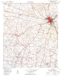
1950 · Waynesboro
USGS Topo · 1:24,000
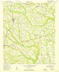
1950 · Gough
USGS Topo · 1:24,000

1950 · Kellys Pond
USGS Topo · 1:24,000

1953 · Athens
USGS Topo · 1:250,000

1957 · Macon
USGS Topo · 1:250,000

1958 · Macon
USGS Topo · 1:250,000