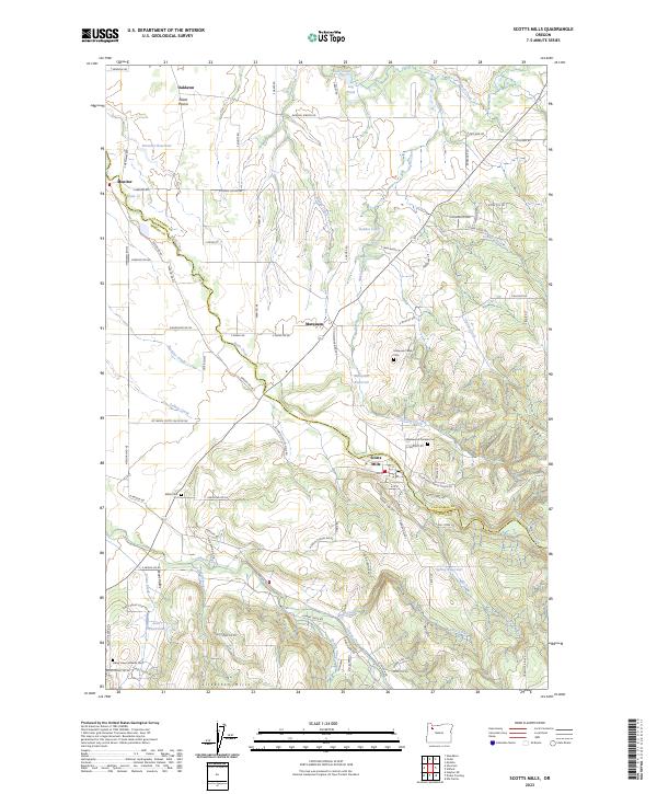
2023 Map of Scotts Mills
USGS Topo · Published 2023About this map
Elliott Prairie and the Silverton Hills define the varied geography of this region on the border of Clackamas and Marion Counties. The settlement of Scotts Mills sits at a geographic transition point, where the winding Butte Creek cuts through the landscape. The area is characterized by a high density of small rural communities and family-centered history, evidenced by several scattered burial sites including Marquam Family Cem and the Maplewood Pioneer Cem near the town center. The hydrological network is particularly complex here, with Abiqua Creek and Marquam Creek draining the timbered slopes of Missouri Ridge. Numerous small reservoirs and ponds, such as Drescher Reservoir and the Log Pond, suggest a history of local water management for agriculture or early milling operations.
Find a feature on this map
95 named features on this map. Tap any name to fly to it.
Don’t see what you’re looking for? This feature index may not catch every label — zoom into the map to look around manually.
Map Details
Editions of this 2023 Scotts Mills Map
This is the sole edition of this map. No revisions or reprints were ever made.
Other maps of this area

1923 · Mount Angel
USGS Topo · 1:62,500

1925 · Stayton
USGS Topo · 1:62,500

1939 · Molalla
USGS Topo · 1:62,500

1940 · Molalla
USGS Topo · 1:62,500

1940 · Mount Angel
USGS Topo · 1:62,500

1941 · Stayton
USGS Topo · 1:62,500

1948 · Vancouver
USGS Topo · 1:250,000

1950 · Vancouver
USGS Topo · 1:250,000

1950 · Vancouver
USGS Topo · 1:250,000

1951 · Lyons
USGS Topo · 1:62,500