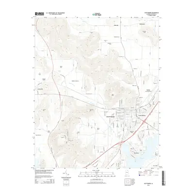
2014 Map of Scottsboro
USGS Topo · Published 2014About this map
Scottsboro and its surrounding coves and mountains define this portion of Jackson County, showing a landscape where residential expansion meets steep topography. The city center is detailed with its grid of streets, including the Webb Addition, while the southern edge is shaped by the waters of Guntersville Lake. A network of country roads, such as Old Larkinsville Rd and Tupelo Pike, connects the valley floor to high points like Poorhouse Mtn and Tater Knob. Genealogists will find several burial grounds mapped, including Cedar Hill Cem in town and more remote sites like Shelton Cem and Liberty Cem to the north. The area's transport and utility are evidenced by the Scottsboro Municipal Airport-Word Field and the corridor of Al-35 cutting through Roseberry Bottoms, illustrating the balance between the natural contours of Backbone Ridge and the requirements of modern infrastructure.
Find a feature on this map
147 named features on this map. Tap any name to fly to it.
Don’t see what you’re looking for? This feature index may not catch every label — zoom into the map to look around manually.
Map Details
Editions of this 2014 Scottsboro Map
This is the sole edition of this map. No revisions or reprints were ever made.
Other maps of this area

1886 · Stevenson
USGS Topo · 1:125,000

1888 · Scottsboro
USGS Topo · 1:125,000

1892 · Scottsboro
USGS Topo · 1:125,000

1892 · Stevenson
USGS Topo · 1:125,000

1895 · Stevenson
USGS Topo · 1:125,000

1936 · Scottsboro
USGS Topo · 1:24,000

1936 · Wannville
USGS Topo · 1:24,000

1936 · Langston
USGS Topo · 1:24,000

1936 · Mud Creek
USGS Topo · 1:24,000

1936 · Dutton
USGS Topo · 1:24,000