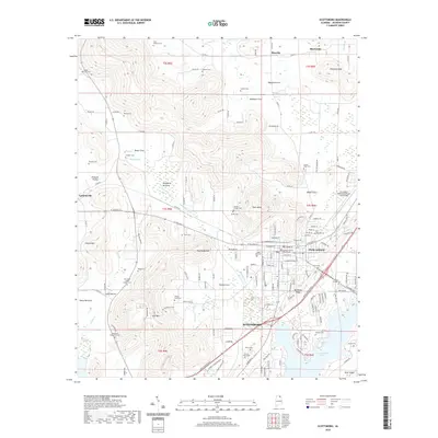
2020 Map of Scottsboro
USGS Topo · Published 2020About this map
Scottsboro serves as the central hub of this 2020 Jackson County survey, situated between the high ridges and the broad waters of Guntersville Lake. The map reveals a landscape defined by significant elevation changes, where features like Poorhouse Mtn and July Mtn overlook the low-lying Roseberry Bottoms. The town's historic core is anchored by the Jackson County Courthouse, while newer developments like Webb Addition extend toward the eastern heights.
Find a feature on this map
160 named features on this map. Tap any name to fly to it.
Don’t see what you’re looking for? This feature index may not catch every label — zoom into the map to look around manually.
Map Details
Editions of this 2020 Scottsboro Map
This is the sole edition of this map. No revisions or reprints were ever made.
Other maps of this area

1886 · Stevenson
USGS Topo · 1:125,000

1888 · Scottsboro
USGS Topo · 1:125,000

1892 · Scottsboro
USGS Topo · 1:125,000

1892 · Stevenson
USGS Topo · 1:125,000

1895 · Stevenson
USGS Topo · 1:125,000

1936 · Scottsboro
USGS Topo · 1:24,000

1936 · Wannville
USGS Topo · 1:24,000

1936 · Langston
USGS Topo · 1:24,000

1936 · Mud Creek
USGS Topo · 1:24,000

1936 · Dutton
USGS Topo · 1:24,000