
1955 Map of Scottsburg
USGS Topo · Published 1957About this map
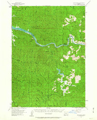
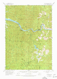
The Umpqua River snakes through the heart of this mid-1950s survey, anchoring the settlement of Scottsburg and the riverside Umpqua Wayside State Park. This region of Douglas County is defined by its dramatic waterway features, including the Brandy Bar and Echo I, which sit within the river's winding course. To the south, the landscape transitions into the deep timberlands of the Elliott State Forest, where the terrain rises toward Dean Mtn and Elk Peak. The presence of Loon Lake and the Ash Valley drainage highlights a complex watershed system that feeds into the Millicoma River and the West Fork Millicoma River. This map captures a moment before modern infrastructure further altered these coastal forests, preserving the locations of a Quarry and Gravel Pit that served the early development of the surrounding Siuslaw National Forest.
Find a feature on this map
53 named features on this map. Tap any name to fly to it.
Don’t see what you’re looking for? This feature index may not catch every label — zoom into the map to look around manually.
Map Details
Editions of this 1955 Scottsburg Map
3 editions found
Other maps of this area

1896 · Coos Bay
USGS Topo · 1:125,000

1898 · Coos Bay
USGS Topo · 1:125,000

1900 · Coos Bay
USGS Topo · 1:125,000

1919 · Earl
USGS Topo · 1:48,000

1920 · Siltcoos Lake
USGS Topo · 1:62,500

1923 · Reedsport
USGS Topo · 1:62,500

1928 · Sitkum
USGS Topo · 1:125,000

1941 · Siltcoos Lake
USGS Topo · 1:62,500

1942 · Siltcoos Lake
USGS Topo · 1:62,500

1942 · Reedsport
USGS Topo · 1:62,500