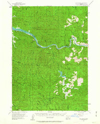
1955 Map of Scottsburg
USGS Topo · Published 1963About this map
The Umpua River carves a winding path through the timberlands of Douglas and Coos counties, serving as the central artery for this mid-century survey. Along its banks, the historic settlement of Scottsburg remains a focal point, situated near the Umqua Wayside State Park and the prominent Brandy Bar. The landscape is defined by the intersection of the Siuslaw National Forest to the north and the Elliott State Forest to the south, highlighting the region's historical reliance on forestry and river transport.
Find a feature on this map
48 named features on this map. Tap any name to fly to it.
Don’t see what you’re looking for? This feature index may not catch every label — zoom into the map to look around manually.
Map Details
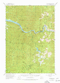
Editions of this 1955 Scottsburg Map
3 editions found

Other maps of this area

1896 · Coos Bay
USGS Topo · 1:125,000

1898 · Coos Bay
USGS Topo · 1:125,000

1900 · Coos Bay
USGS Topo · 1:125,000

1919 · Earl
USGS Topo · 1:48,000

1920 · Siltcoos Lake
USGS Topo · 1:62,500

1923 · Reedsport
USGS Topo · 1:62,500

1928 · Sitkum
USGS Topo · 1:125,000

1941 · Siltcoos Lake
USGS Topo · 1:62,500

1942 · Siltcoos Lake
USGS Topo · 1:62,500

1942 · Reedsport
USGS Topo · 1:62,500