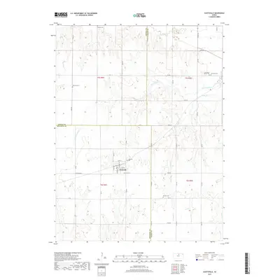
2018 Map of Scottsville
USGS Topo · Published 2018About this map
Scottsville serves as the central hub of this North Central Kansas landscape, situated at the junction of Scottsville Rd and Commercial Ave. This 2018 survey reveals a terrain defined by its complex drainage network, where the headwaters of Little Cheyenne Cr and Cheyenne Cr carve paths through the agricultural sections. The map is particularly valuable for genealogical research, documenting several distinct burial grounds that speak to the area's diverse heritage, including the Saint Mary's Catholic Cem, Lutheran Cem, and West Hope Cem. The transition from Mitchell County into Jewell and Cloud counties is clearly marked, following section lines and drainage divides like those near Buffalo Cr. Rural life is etched into the grid of local thoroughfares such as Omio Rd and Rock Rd, which connect the scattered farms to the village core.
Find a feature on this map
48 named features on this map. Tap any name to fly to it.
Don’t see what you’re looking for? This feature index may not catch every label — zoom into the map to look around manually.
Map Details
Editions of this 2018 Scottsville Map
This is the sole edition of this map. No revisions or reprints were ever made.
Other maps of this area

1892 · Concordia
USGS Topo · 1:125,000

1892 · Minneapolis
USGS Topo · 1:125,000

1894 · Mankato
USGS Topo · 1:125,000

1894 · Beloit
USGS Topo · 1:125,000

1953 · Glasco NE
USGS Topo · 1:24,000

1953 · Simpson
USGS Topo · 1:24,000

1953 · Beloit
USGS Topo · 1:24,000

1955 · Manhattan
USGS Topo · 1:250,000

1955 · Beloit
USGS Topo · 1:250,000

1956 · Manhattan
USGS Topo · 1:250,000