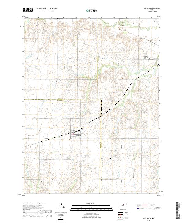
2022 Map of Scottsville
USGS Topo · Published 2022About this map
Scottsville sits at the intersection of Scottsville Rd and 370 Rd, serving as the primary hub for the surrounding agricultural landscape where the borders of Jewell, Cloud, and Mitchell counties meet. The terrain is defined by the winding paths of Little Cheyenne Cr and Buffalo Cr in the north, while the southern reaches are drained by the headwaters of W Asher Cr and E Asher Cr. This area maintains a high density of ancestral sites for genealogists, with small burial grounds such as Lovseth Cem, West Hope Cem, and Summit 3 Cem scattered across the section lines. The presence of both the Jamestown Cem and the adjacent Saint Marys Catholic Cem near the eastern margin suggests a long-standing community structure organized around family plots and rural parishes that have persisted into the modern era.
Find a feature on this map
49 named features on this map. Tap any name to fly to it.
Don’t see what you’re looking for? This feature index may not catch every label — zoom into the map to look around manually.
Map Details
Editions of this 2022 Scottsville Map
This is the sole edition of this map. No revisions or reprints were ever made.
Other maps of this area

1892 · Concordia
USGS Topo · 1:125,000

1892 · Minneapolis
USGS Topo · 1:125,000

1894 · Mankato
USGS Topo · 1:125,000

1894 · Beloit
USGS Topo · 1:125,000

1953 · Glasco NE
USGS Topo · 1:24,000

1953 · Simpson
USGS Topo · 1:24,000

1953 · Beloit
USGS Topo · 1:24,000

1955 · Manhattan
USGS Topo · 1:250,000

1955 · Beloit
USGS Topo · 1:250,000

1956 · Manhattan
USGS Topo · 1:250,000