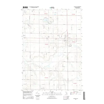
2014 Map of Scottville
USGS Topo · Published 2014About this map
Scottville and the settlement of Amber anchor this Mason County landscape, where the Pere Marquette River carves a winding path through the central terrain. The map reveals a high concentration of rural burial grounds, including Rickey Cem, Brookside Cem, and N Amber Cem, which offer significant value for genealogists tracing local families across these townships. Small water bodies like Hackert Lake and Vogel Lake dot the northern sections, while a network of named creeks such as India Cr and Swan Cr drain into the primary river valley. The dense grid of roads, including W Chauvez Rd and W Hawley Rd, reflects a well-established agricultural and residential pattern characteristic of western Michigan in the early 21st century.
Find a feature on this map
49 named features on this map. Tap any name to fly to it.
Don’t see what you’re looking for? This feature index may not catch every label — zoom into the map to look around manually.
Map Details
Editions of this 2014 Scottville Map
This is the sole edition of this map. No revisions or reprints were ever made.
Other maps of this area

1931 · Custer NW
USGS Topo · 1:31,680

1931 · Custer SW
USGS Topo · 1:31,680

1931 · Manistee SE
USGS Topo · 1:31,680

1931 · Freesoil SW
USGS Topo · 1:31,680

1931 · Manistee SW
USGS Topo · 1:31,680

1932 · Ludington NE
USGS Topo · 1:31,680

1932 · Ludington SW
USGS Topo · 1:31,680

1932 · Ludington SE
USGS Topo · 1:31,680

1932 · Ludington
USGS Topo · 1:31,680

1954 · Milwaukee
USGS Topo · 1:250,000