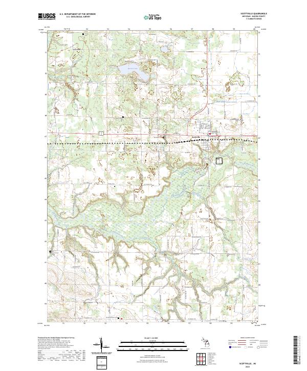
2023 Map of Scottville
USGS Topo · Published 2023About this map
Scottville serves as the central hub of this Mason County landscape, where the Pere Marquette River winds through the southern reaches, flanked by extensive wetlands and tributary systems including Swan Creek and India Creek. The map reveals a deeply established rural infrastructure, organized around a grid of section-line roads like W Johnson Rd and W Chauvez Rd. This 2023 survey is particularly valuable for genealogists, as it identifies several distinct burial grounds scattered across the townships, including North Amber Cem, South Victory Cem, and Brookside Cem. These sites, along with the smaller Rickey Cem and West Riverton Cem, provide concrete points of reference for tracing local family histories. To the north, the terrain is dotted with glacial features such as Hackert Lake and Vogel Lake, highlighting the classic kettle-and-kame topography characteristic of this part of Michigan.
Find a feature on this map
85 named features on this map. Tap any name to fly to it.
Don’t see what you’re looking for? This feature index may not catch every label — zoom into the map to look around manually.
Map Details
Editions of this 2023 Scottville Map
This is the sole edition of this map. No revisions or reprints were ever made.
Other maps of this area

1931 · Custer NW
USGS Topo · 1:31,680

1931 · Custer SW
USGS Topo · 1:31,680

1931 · Manistee SE
USGS Topo · 1:31,680

1931 · Freesoil SW
USGS Topo · 1:31,680

1931 · Manistee SW
USGS Topo · 1:31,680

1932 · Ludington NE
USGS Topo · 1:31,680

1932 · Ludington SW
USGS Topo · 1:31,680

1932 · Ludington SE
USGS Topo · 1:31,680

1932 · Ludington
USGS Topo · 1:31,680

1954 · Milwaukee
USGS Topo · 1:250,000