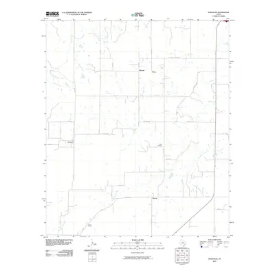
2010 Map of Scranton
USGS Topo · Published 2010About this map
Scranton and Nimrod anchor this survey of West Texas ranching country, where the landscape is defined by the winding course of the South Fork Leon River. The map documents a sparsely populated rural network connected by a web of county roads such as Co RD 130 and Co RD 145, illustrating the persistent agricultural character of Eastland County.
Find a feature on this map
35 named features on this map. Tap any name to fly to it.
Don’t see what you’re looking for? This feature index may not catch every label — zoom into the map to look around manually.
Map Details
Editions of this 2010 Scranton Map
This is the sole edition of this map. No revisions or reprints were ever made.
Other maps of this area

1894 · Eastland
USGS Topo · 1:125,000

1931 · Baird
USGS Topo · 1:125,000

1932 · Baird
USGS Topo · 1:125,000

1954 · Abilene
USGS Topo · 1:250,000

1958 · Abilene
USGS Topo · 1:250,000

1966 · Cisco North
USGS Topo · 1:24,000

1966 · Scranton
USGS Topo · 1:24,000

1966 · Putnam South
USGS Topo · 1:24,000
1966 · Bernie Lake
USGS Topo · 1:24,000

1966 · Cisco South
USGS Topo · 1:24,000