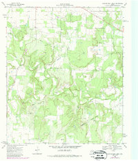
1966 Map of Scranton
USGS Topo · Published 1969This historical map portrays the area of Scranton in 1966, primarily covering Eastland County as well as portions of Callahan County. Featuring a scale of 1:24000, this map provides a highly detailed snapshot of the terrain, roads, buildings, counties, and historical landmarks in the Scranton region at the time. Published in 1969, it is one of 2 known editions of this map due to revisions or reprints.
Find a feature on this map
17 named features on this map. Tap any name to fly to it.
Don’t see what you’re looking for? This feature index may not catch every label — zoom into the map to look around manually.
Map Details
Editions of this 1966 Scranton Map
2 editions found
Historical Maps of Scranton Through Time
10 maps found
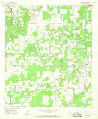
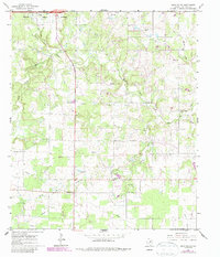
1966 Bear Mountain
Eastland County, TX
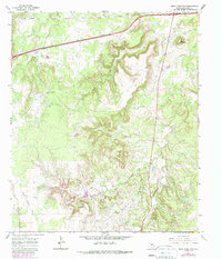
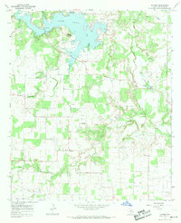
1966 Bernie Lake
Eastland County, TX
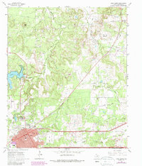
1966 Cisco North
Eastland County, TX
1966 Cisco South
Eastland County, TX
1966 Desdemona
Eastland County, TX
1966 Kokomo
Eastland County, TX
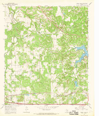
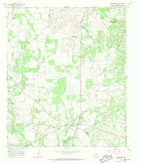
1966 Scranton
Eastland County, TX
1969 Hunting Shirt Creek
Eastland County, TX
1969 Sabanno
Eastland County, TX
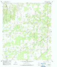
1969 Union Center
Eastland County, TX