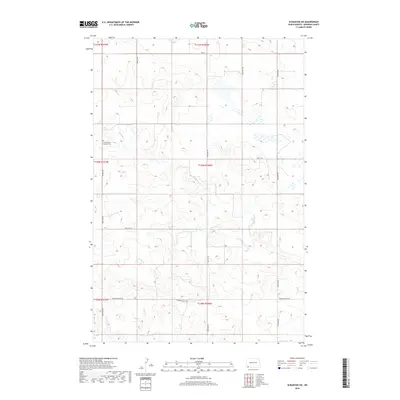
2018 Map of Scranton SW
USGS Topo · Published 2018About this map
Union Prairie Lutheran Cem stands as a primary landmark in this rural landscape of southeastern Bowman County. The terrain is defined by the winding course of Lightning Cr, which cuts through the high plains topography, creating numerous wetlands and intermittent ponds. The map detail reflects the enduring grid of the Public Land Survey System, with township lines for t130n r101w and t131n r100w organizing the sectioned agricultural fields. A network of section-line roads, such as Circle K Rd and Scranton Rd, connects isolated farmsteads across the prairie. This documentation captures the area near the North Dakota-South Dakota border, showing the relationship between local water drainage and the established rural road system including Bowman Haley Rd.
Find a feature on this map
19 named features on this map. Tap any name to fly to it.
Don’t see what you’re looking for? This feature index may not catch every label — zoom into the map to look around manually.
Map Details
Editions of this 2018 Scranton SW Map
This is the sole edition of this map. No revisions or reprints were ever made.
Other maps of this area

1935 · Reva
USGS Topo · 1:125,000

1953 · Dickinson
USGS Topo · 1:250,000

1954 · Lemmon
USGS Topo · 1:250,000

1957 · Dickinson
USGS Topo · 1:250,000

1957 · Lemmon
USGS Topo · 1:250,000

1968 · Haley
USGS Topo · 1:24,000

1968 · Bowman-Haley Dam
USGS Topo · 1:24,000

1968 · Tepee Buttes
USGS Topo · 1:24,000

1969 · Scranton
USGS Topo · 1:24,000

1969 · Gascoyne
USGS Topo · 1:24,000