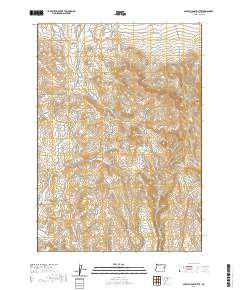
2020 Map of Scratch Post Butte
USGS Topo · Published 2020About this map
Scratch Post Butte rises as a prominent landmark in this high-desert region of Malheur County, where the landscape is defined by its water-management features and drainage systems. Strategic water storage is evident at Smith Reservoir and Wheaton Cr Reservoir, which capture runoff from the ephemeral Wheaton Cr and surrounding draws. This modern survey illustrates how topographic features like Circle Butte and Juniper Mtn organize the drainage patterns of several creeks, including Cow Cr, Blue Cr, and Deep Cr. The terrain is navigated via Bonita Rd, which provides the primary access through these townships. Local landmarks such as Kink Spring and Hay Canyon provide specific points of interest for those tracking family land use or historical grazing patterns in this sparsely settled corner of Oregon.
Find a feature on this map
26 named features on this map. Tap any name to fly to it.
Don’t see what you’re looking for? This feature index may not catch every label — zoom into the map to look around manually.
Map Details
Editions of this 2020 Scratch Post Butte Map
This is the sole edition of this map. No revisions or reprints were ever made.
Other maps of this area

1955 · Baker
USGS Topo · 1:250,000

1959 · Baker
USGS Topo · 1:250,000

1964 · Bridgeport
USGS Topo · 1:62,500

1964 · Brogan
USGS Topo · 1:62,500

1964 · Ironside
USGS Topo · 1:62,500

1966 · Clover Creek Ranch
USGS Topo · 1:62,500

1980 · Brogan
USGS Topo · 1:100,000
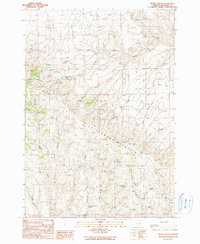
1990 · Brady Creek
USGS Topo · 1:24,000
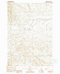
1990 · Ironside
USGS Topo · 1:24,000
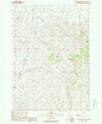
1990 · Scratch Post Butte
USGS Topo · 1:24,000