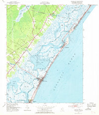
1952 Map of Sea Isle City
USGS Topo · Published 1969About this map
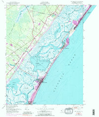
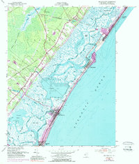
Pennsylvania-Reading Seashore Lines cuts across the coastal landscape, connecting inland settlements like Palermo and Seaville to the barrier islands. The map details a complex hydrologic network where the Intracoastal Waterway threads through Ludlam Bay and Corson Sound, separating the mainland from the developed oceanfront. Shoreline communities including Sea Isle City and Strathmere are shown with their mid-century street grids and infrastructure, such as the Bascule Bridge and St Rita Chapel. Further inland, the transition from maritime marsh to upland forest is marked by the Cedar Swamp and Magnolia Lake. Genealogists may find interest in the documented locations of Seaside Cem and Woodland Cem, while the presence of a Coast Guard Station at Townsends Inlet underscores the area's maritime reliance during the early 1950s.
Find a feature on this map
57 named features on this map. Tap any name to fly to it.
Don’t see what you’re looking for? This feature index may not catch every label — zoom into the map to look around manually.
Map Details
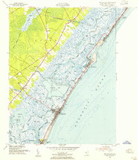
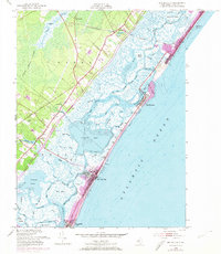
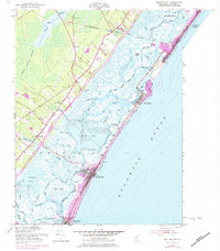
Editions of this 1952 Sea Isle City Map
6 editions found
Other maps of this area

1884 · Sea Isle
USGS Topo · 1:62,500

1888 · Dennisville
USGS Topo · 1:62,500

1888 · Sea Isle
USGS Topo · 1:62,500

1890 · Great Egg Harbor
USGS Topo · 1:62,500

1890 · Tuckahoe
USGS Topo · 1:62,500

1893 · Great Egg Harbor
USGS Topo · 1:62,500

1893 · Tuckahoe
USGS Topo · 1:62,500

1894 · Dennisville
USGS Topo · 1:62,500

1894 · Sea Isle
USGS Topo · 1:62,500

1918 · Great Egg Harbor
USGS Topo · 1:62,500