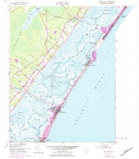
1952 Map of Sea Isle City
USGS Topo · Published 1984About this map
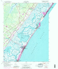
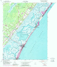
The salt marshes and barrier islands of Cape May County are documented here during a period of transition, where coastal development meets the inland expanse of the Great Cedar Swamp. Along the shore, Sea Isle City and Strathmere are positioned between the Atlantic and the expansive Ludlam Bay, connected by the Pennsylvania-Reading Seashore Lines. Inland, older settlements like Seaville and Palermo sit along established routes, punctuated by local landmarks such as Seaville Ch and the Woodland Cem. The map reveals a complex aquatic landscape of thoroughfares and creeks, including Whale Creek and Main Channel, which defined the local maritime economy and transportation before more modern infrastructure dominated the coastline. The presence of the Garden State Parkway and a Tollgate indicates the early stages of the post-war tourism boom that would further reshape this coastal corridor.
Find a feature on this map
66 named features on this map. Tap any name to fly to it.
Don’t see what you’re looking for? This feature index may not catch every label — zoom into the map to look around manually.
Map Details
Editions of this 1952 Sea Isle City Map
6 editions found
Other maps of this area

1884 · Sea Isle
USGS Topo · 1:62,500

1888 · Dennisville
USGS Topo · 1:62,500

1888 · Sea Isle
USGS Topo · 1:62,500

1890 · Great Egg Harbor
USGS Topo · 1:62,500

1890 · Tuckahoe
USGS Topo · 1:62,500

1893 · Great Egg Harbor
USGS Topo · 1:62,500

1893 · Tuckahoe
USGS Topo · 1:62,500

1894 · Dennisville
USGS Topo · 1:62,500

1894 · Sea Isle
USGS Topo · 1:62,500

1918 · Great Egg Harbor
USGS Topo · 1:62,500