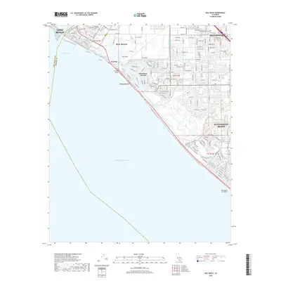
2018 Map of Seal Beach
USGS Topo · Published 2018About this map
Seal Beach and the intricate coastal landscape of Huntington Harbour dominate this 2018 survey of the Orange County shoreline. The map documents the high density of residential developments and man-made waterways that characterize this stretch of Southern California, including the specialized neighborhood of Surfside Beach and the extensive commercial and educational infrastructure of Westminster, anchored by Golden West College. Inland from the Pacific Ocean, the landscape is a grid of suburban expansion, yet legacy terrain features like Landing Hill and Hog Island remain identifiable amidst the modern street layout.
Find a feature on this map
168 named features on this map. Tap any name to fly to it.
Don’t see what you’re looking for? This feature index may not catch every label — zoom into the map to look around manually.
Map Details
Editions of this 2018 Seal Beach Map
This is the sole edition of this map. No revisions or reprints were ever made.
Other maps of this area

1896 · Santa Ana
USGS Topo · 1:62,500

1896 · Anaheim
USGS Topo · 1:62,500

1896 · Las Bolsas
USGS Topo · 1:62,500

1896 · Downey
USGS Topo · 1:62,500

1898 · Anaheim
USGS Topo · 1:62,500

1899 · Downey
USGS Topo · 1:62,500

1901 · Southern California Sheet No. 1
USGS Topo · 1:250,000

1901 · Santa Ana
USGS Topo · 1:62,500

1901 · Anaheim
USGS Topo · 1:62,500

1902 · Downey
USGS Topo · 1:62,500