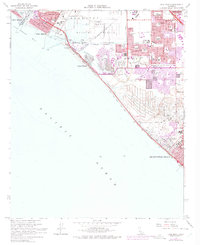
1965 Map of Seal Beach
USGS Topo · Published 1975About this map
Anaheim Bay and the extensive grounds of the U S Naval Weapons Station dominate the coastal geography of this mid-1960s study, illustrating a landscape where military installations and expanding suburban tracts met the Pacific. The purple photorevised overlays from 1972 reveal rapid residential growth across Westminster and northern Huntington Beach, particularly visible in the dense clusters of new streets near Marina High Sch and Schroeder Sch.
Find a feature on this map
44 named features on this map. Tap any name to fly to it.
Don’t see what you’re looking for? This feature index may not catch every label — zoom into the map to look around manually.
Map Details
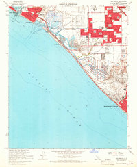
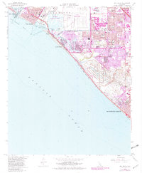
Editions of this 1965 Seal Beach Map
3 editions found
Other maps of this area

1896 · Santa Ana
USGS Topo · 1:62,500

1896 · Anaheim
USGS Topo · 1:62,500

1896 · Las Bolsas
USGS Topo · 1:62,500

1896 · Downey
USGS Topo · 1:62,500

1898 · Anaheim
USGS Topo · 1:62,500

1899 · Downey
USGS Topo · 1:62,500

1901 · Southern California Sheet No. 1
USGS Topo · 1:250,000

1901 · Santa Ana
USGS Topo · 1:62,500

1901 · Anaheim
USGS Topo · 1:62,500

1902 · Downey
USGS Topo · 1:62,500