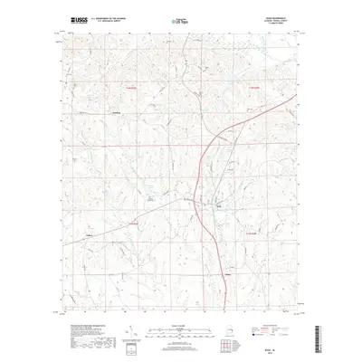
2018 Map of Seale
USGS Topo · Published 2018About this map
Seale serves as the focal point for this section of Russell County, where the landscape is defined by the dendritic drainage patterns of Uchee Creek and its many tributaries. The area maintains a rural, dispersed settlement character, with small communities like Sandfort, Colbert, and Villula connected by a network of county roads. Genealogical interest is particularly high on this sheet given the density of family-named burial sites, such as Williams Dudley Cem and the Bass Cem. The topography is characterized by many small bodies of water, including Dudleys Lake and Monte Pond, which suggest a terrain of varied elevations and wetlands common to the Alabama coastal plain. This 2018 record shows how modern infrastructure, such as Co Rd 137 and Co Rd 69, has integrated with traditional land divisions and early homestead locations.
Find a feature on this map
70 named features on this map. Tap any name to fly to it.
Don’t see what you’re looking for? This feature index may not catch every label — zoom into the map to look around manually.
Map Details
Editions of this 2018 Seale Map
This is the sole edition of this map. No revisions or reprints were ever made.
Other maps of this area

1914 · Seale
USGS Topo · 1:62,500

1949 · Fort Mitchell
USGS Topo · 1:24,000

1950 · Crawford
USGS Topo · 1:24,000

1950 · Seale
USGS Topo · 1:24,000

1950 · Phenix City
USGS Topo · 1:24,000

1950 · Seale
USGS Topo · 1:62,500

1955 · Phenix City
USGS Topo · 1:24,000

1955 · Seale
USGS Topo · 1:24,000

1955 · Crawford
USGS Topo · 1:24,000
1955 · Fort Mitchell
USGS Topo · 1:24,000