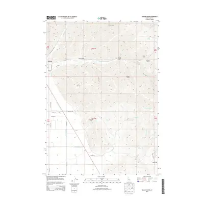
2013 Map of Seamans Creek
USGS Topo · Published 2013About this map
The high desert and foothills east of Bellevue are defined by a complex drainage system flowing toward the Wood River Valley. The terrain shifts from the agricultural lowlands near the District Canal Forty-Five and Canal Number 45 to the rising elevations of Lookout Mtn. This landscape is marked by numerous named springs, such as Italian Spring and Barrel Springs, which historically sustained livestock and early ranching operations in this part of Idaho.
Find a feature on this map
53 named features on this map. Tap any name to fly to it.
Don’t see what you’re looking for? This feature index may not catch every label — zoom into the map to look around manually.
Map Details
Editions of this 2013 Seamans Creek Map
This is the sole edition of this map. No revisions or reprints were ever made.
Other maps of this area

1895 · Hailey
USGS Topo · 1:125,000

1897 · Hailey
USGS Topo · 1:125,000

1955 · Hailey
USGS Topo · 1:250,000

1957 · Bellevue
USGS Topo · 1:62,500

1957 · Bellevue
USGS Topo · 1:24,000

1959 · Hailey
USGS Topo · 1:250,000

1962 · Hailey
USGS Topo · 1:250,000

1967 · Baugh Creek SW
USGS Topo · 1:24,000

1967 · Baugh Creek
USGS Topo · 1:24,000

1967 · Hailey
USGS Topo · 1:24,000