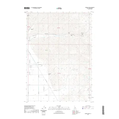
2020 Map of Seamans Creek
USGS Topo · Published 2020About this map
Bellevue anchors the northwestern corner of this Idaho landscape, where the Wood River Valley meets the high desert canyons. The map records a complex network of ranching and residential infrastructure, with roads like Muldoon Canyon Rd and Gannett Picabo Rd providing access to the interior. Local history is anchored at the Bellevue Cem, situated near the headwaters of Seamans Cr.
Find a feature on this map
54 named features on this map. Tap any name to fly to it.
Don’t see what you’re looking for? This feature index may not catch every label — zoom into the map to look around manually.
Map Details
Editions of this 2020 Seamans Creek Map
This is the sole edition of this map. No revisions or reprints were ever made.
Other maps of this area

1895 · Hailey
USGS Topo · 1:125,000

1897 · Hailey
USGS Topo · 1:125,000

1955 · Hailey
USGS Topo · 1:250,000

1957 · Bellevue
USGS Topo · 1:62,500

1957 · Bellevue
USGS Topo · 1:24,000

1959 · Hailey
USGS Topo · 1:250,000

1962 · Hailey
USGS Topo · 1:250,000

1967 · Baugh Creek SW
USGS Topo · 1:24,000

1967 · Baugh Creek
USGS Topo · 1:24,000

1967 · Hailey
USGS Topo · 1:24,000