
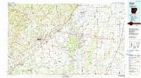
1986 Map of Searcy
USGS Topo · Published 1986About this map
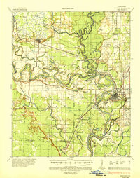
The Little Red River and White River valley system dominates this mid-1980s landscape, illustrating the complex hydrology of central Arkansas. The regional hub of Searcy serves as the focal point for a network of smaller agricultural communities and rail sidings, including Bald Knob and Pangburn. The Missouri Pacific RR corridor cuts diagonally across the terrain, tracing the historical movement of timber and goods from the interior. Eastward, the landscape shifts into the alluvial lowlands of the Cache River and Bayou De View, where the Hurricane Lake State Wildlife Management Area and Black Swamp State Wildlife Management Areas preserve significant wetlands. Prominent topographic features like Georgia Ridge and Backbone Ridge rise above the plains, providing distinct landmarks for local navigation and land division.
Find a feature on this map
87 named features on this map. Tap any name to fly to it.
Don’t see what you’re looking for? This feature index may not catch every label — zoom into the map to look around manually.
Map Details
Editions of this 1986 Searcy Map
2 editions found
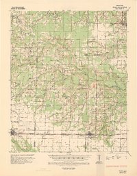
Other maps of this area

1890 · Batesville
USGS Topo · 1:125,000

1891 · Little Rock
USGS Topo · 1:125,000

1891 · Batesville
USGS Topo · 1:125,000

1892 · Mountain View
USGS Topo · 1:125,000

1893 · Little Rock
USGS Topo · 1:125,000

1894 · Mountain View
USGS Topo · 1:125,000
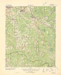
1932 · Kensett
USGS Topo · 1:62,500
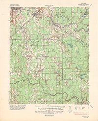
1935 · Kensett
USGS Topo · 1:62,500
1935 · Hazen
USGS Topo · 1:62,500
1935 · Newport
USGS Topo · 1:62,500