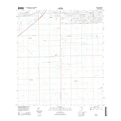
2015 Map of Sears
USGS Topo · Published 2015About this map
The Caloosahatchee River winds across the northern edge of this Hendry County landscape, serving as a historic waterway for a region transitioning from citrus groves to municipal development. In the city of LaBelle, the street grid expands southward from the river toward the La Belle Municipal Airport, while the planned residential layouts of Port LaBelle characterize the northeastern section.
Find a feature on this map
85 named features on this map. Tap any name to fly to it.
Don’t see what you’re looking for? This feature index may not catch every label — zoom into the map to look around manually.
Map Details
Editions of this 2015 Sears Map
This is the sole edition of this map. No revisions or reprints were ever made.
Other maps of this area

1956 · West Palm Beach
USGS Topo · 1:250,000

1957 · West Palm Beach
USGS Topo · 1:250,000

1957 · Telegraph Swamp SE
USGS Topo · 1:24,000

1958 · West Palm Beach
USGS Topo · 1:250,000

1958 · Felda SE
USGS Topo · 1:24,000

1958 · Goodno
USGS Topo · 1:24,000

1958 · Felda
USGS Topo · 1:24,000

1958 · Felda NE
USGS Topo · 1:24,000

1958 · Alva
USGS Topo · 1:24,000

1958 · Sears
USGS Topo · 1:24,000