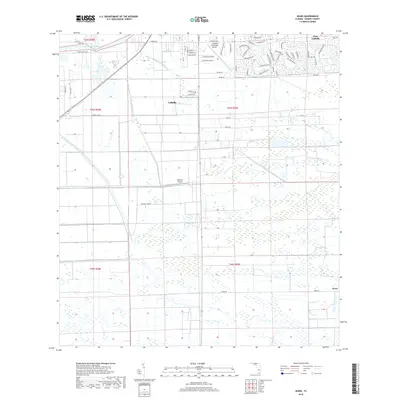
2018 Map of Sears
USGS Topo · Published 2018About this map
LaBelle and the planned expansion of Port LaBelle anchor the northern landscape of this Hendry County region, where the Caloosahatchee River carves a path through the low-lying Florida terrain. The map documents an area defined by agricultural industry and aviation, featuring both the La Belle Municipal Airport and the private Bob Paul Airport. Large-scale land use is evident in the presence of Bob Paul Groves and the citrus operations of Berry Citrus, supported by the artificial drainage of the Roberts Canal. A network of rural and industrial roads, such as Fort Denaud Rd and S Industrial Loop, crisscrosses the southern reaches near the small settlement of Sears, reflecting the region's transition from river-based commerce to modern citrus production and light industry.
Find a feature on this map
69 named features on this map. Tap any name to fly to it.
Don’t see what you’re looking for? This feature index may not catch every label — zoom into the map to look around manually.
Map Details
Editions of this 2018 Sears Map
This is the sole edition of this map. No revisions or reprints were ever made.
Other maps of this area

1956 · West Palm Beach
USGS Topo · 1:250,000

1957 · West Palm Beach
USGS Topo · 1:250,000

1957 · Telegraph Swamp SE
USGS Topo · 1:24,000

1958 · West Palm Beach
USGS Topo · 1:250,000

1958 · Felda SE
USGS Topo · 1:24,000

1958 · Goodno
USGS Topo · 1:24,000

1958 · Felda
USGS Topo · 1:24,000

1958 · Felda NE
USGS Topo · 1:24,000

1958 · Alva
USGS Topo · 1:24,000

1958 · Sears
USGS Topo · 1:24,000