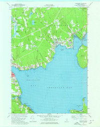
1973 Map of Searsport
USGS Topo · Published 1976About this map
Searsport Harbor and the deep waters of Penobscot Bay anchor this coastal landscape in the early 1970s. The town of Searsport serves as a hub for maritime and rail activity, where the Bangor and Aroostook railroad terminates near the industrial infrastructure of Mack Pt. Across the tidal flats of Long Cove lies the undeveloped expanse of Sears Island, while the western shore is punctuated by small residential clusters like Bayside and East Northport.
Find a feature on this map
64 named features on this map. Tap any name to fly to it.
Don’t see what you’re looking for? This feature index may not catch every label — zoom into the map to look around manually.
Map Details
Editions of this 1973 Searsport Map
2 editions found
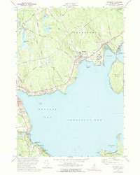
Other maps of this area

1900 · Bucksport
USGS Topo · 1:62,500

1902 · Bucksport
USGS Topo · 1:62,500

1902 · Castine
USGS Topo · 1:62,500

1904 · Castine
USGS Topo · 1:62,500

1905 · Penobscot Bay
USGS Topo · 1:125,000
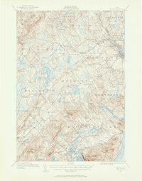
1915 · Belfast
USGS Topo · 1:62,500
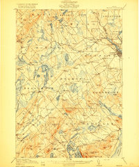
1917 · Belfast
USGS Topo · 1:62,500
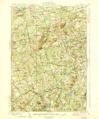
1932 · Brooks
USGS Topo · 1:62,500
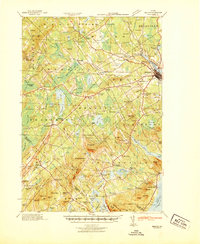
1941 · Belfast
USGS Topo · 1:62,500
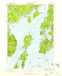
1941 · Castine
USGS Topo · 1:62,500