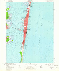
1953 Map of Seaside Park
USGS Topo · Published 1962About this map
The Barnegat Peninsula stretches northward through this mid-century survey, showcasing a dense ribbon of coastal development between the Atlantic Ocean and Barnegat Bay. Communities like Seaside Heights and Seaside Park are clearly defined by their street grids and the long reach of the boardwalk along the shore. The transition from the urbanized resort areas to the undeveloped dunes of Island Beach State Park illustrates the shift in land use at the southern end of the barrier beach.
Find a feature on this map
37 named features on this map. Tap any name to fly to it.
Don’t see what you’re looking for? This feature index may not catch every label — zoom into the map to look around manually.
Map Details
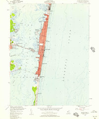
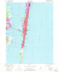
Editions of this 1953 Seaside Park Map
3 editions found
Other maps of this area

1888 · Barnegat
USGS Topo · 1:62,500

1888 · Asbury Park
USGS Topo · 1:62,500

1893 · Asbury Park
USGS Topo · 1:62,500

1893 · Barnegat
USGS Topo · 1:62,500

1898 · Barnegat
USGS Topo · 1:62,500

1901 · Asbury Park
USGS Topo · 1:62,500

1902 · Navesink
USGS Topo · 1:125,000

1919 · Barnegat
USGS Topo · 1:62,500

1919 · Asbury Park
USGS Topo · 1:62,500

1941 · Toms River
USGS Topo · 1:62,500