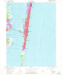
1953 Map of Seaside Park
USGS Topo · Published 1972About this map
The Barnegat Peninsula and its intricate coastal landscape dominate this mid-century survey, documenting a period of significant growth along the Jersey Shore. Established borough boundaries separate the dense resort communities of Lavallette, Seaside Heights, and Seaside Park as they crowd the thin strip of land between the Atlantic Ocean and Barnegat Bay. The map shows a clear division between the developed urban grids to the north and the preserved natural reaches of Island Beach State Park stretching southward.
Find a feature on this map
30 named features on this map. Tap any name to fly to it.
Don’t see what you’re looking for? This feature index may not catch every label — zoom into the map to look around manually.
Map Details
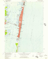
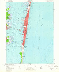
Editions of this 1953 Seaside Park Map
3 editions found
Other maps of this area

1888 · Barnegat
USGS Topo · 1:62,500

1888 · Asbury Park
USGS Topo · 1:62,500

1893 · Asbury Park
USGS Topo · 1:62,500

1893 · Barnegat
USGS Topo · 1:62,500

1898 · Barnegat
USGS Topo · 1:62,500

1901 · Asbury Park
USGS Topo · 1:62,500

1902 · Navesink
USGS Topo · 1:125,000

1919 · Barnegat
USGS Topo · 1:62,500

1919 · Asbury Park
USGS Topo · 1:62,500

1941 · Toms River
USGS Topo · 1:62,500