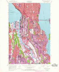
1949 Map of Seattle South
USGS Topo · Published 1969About this map
Elliott Bay and the industrial corridors of the Duwamish Waterway anchor this urban study of Seattle, reflecting the city's post-war expansion and the modernization of its transport network. The map reveals a transition from traditional rail hubs at King Street Sta and Union Depot to the rising influence of aviation and aerospace centered at Boeing Field. Revisions from the late 1960s, indicated in purple, highlight the growth of residential and commercial zones through Rainier Valley and Georgetown, alongside the development of landmark structures such as the Space Needle and the Monorail. Extensive maritime infrastructure around Harbor Island and the East Waterway underscores the city's role as a Pacific Northwest shipping center. From the residential hills of Capitol Hill and Beacon Hill to the shoreline of Lake Washington, the landscape is a complex grid of emerging interstates, established ferry routes like the Seattle-Winslow Ferry, and community landmarks such as Edison High Sch.
Find a feature on this map
63 named features on this map. Tap any name to fly to it.
Don’t see what you’re looking for? This feature index may not catch every label — zoom into the map to look around manually.
Map Details
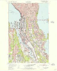
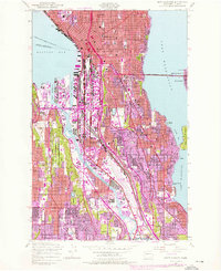
Editions of this 1949 Seattle South Map
3 editions found
Other maps of this area

1894 · Seattle
USGS Topo · 1:62,500

1895 · Snohomish
USGS Topo · 1:125,000

1897 · Tacoma
USGS Topo · 1:125,000

1897 · Seattle
USGS Topo · 1:125,000

1900 · Tacoma
USGS Topo · 1:125,000

1908 · Seattle
USGS Topo · 1:62,500

1909 · Seattle Special
USGS Topo · 1:62,500

1949 · Shilshole Bay
USGS Topo · 1:24,000

1949 · Renton
USGS Topo · 1:24,000
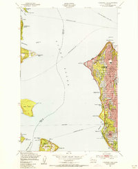
1949 · Duwamish Head
USGS Topo · 1:24,000