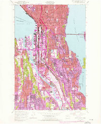
1949 Map of Seattle South
USGS Topo · Published 1976About this map
Elliott Bay and the industrial corridors of the Duwamish Waterway define this mid-century portrait of Seattle's southern expansion. The landscape is a complex intersection of maritime commerce and residential growth, featuring the massive footprints of Harbor Island and the King County International Airport. Purple photorevisions from 1968 and 1973 highlight the modernization of the city's infrastructure, including the Alaskan Way Viaduct and the iconic Space Needle.
Find a feature on this map
73 named features on this map. Tap any name to fly to it.
Don’t see what you’re looking for? This feature index may not catch every label — zoom into the map to look around manually.
Map Details
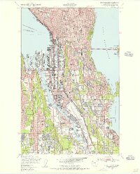
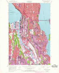
Editions of this 1949 Seattle South Map
3 editions found
Other maps of this area

1894 · Seattle
USGS Topo · 1:62,500

1895 · Snohomish
USGS Topo · 1:125,000

1897 · Tacoma
USGS Topo · 1:125,000

1897 · Seattle
USGS Topo · 1:125,000

1900 · Tacoma
USGS Topo · 1:125,000

1908 · Seattle
USGS Topo · 1:62,500

1909 · Seattle Special
USGS Topo · 1:62,500

1949 · Shilshole Bay
USGS Topo · 1:24,000

1949 · Renton
USGS Topo · 1:24,000
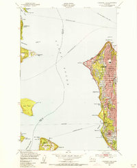
1949 · Duwamish Head
USGS Topo · 1:24,000