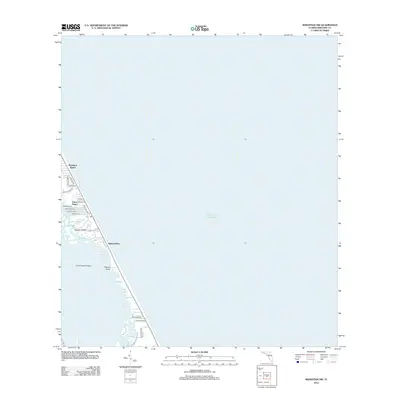
2012 Map of Sebastian NW
USGS Topo · Published 2012About this map
Floridana Beach and Evans Pines sit at the northern edge of this coastal landscape, where residential development is concentrated along the narrow barrier between the Atlantic Ocean and the Indian River lagoon system. The map reveals a complex aquatic geography of small keys and inlets, including Latham Island and Mullet Creek, that define the brackish interior shoreline.
Find a feature on this map
29 named features on this map. Tap any name to fly to it.
Don’t see what you’re looking for? This feature index may not catch every label — zoom into the map to look around manually.
Map Details
Editions of this 2012 Sebastian NW Map
This is the sole edition of this map. No revisions or reprints were ever made.
Other maps of this area

1949 · Fellsmere
USGS Topo · 1:24,000

1949 · Melbourne East
USGS Topo · 1:24,000

1949 · Sebastian NW
USGS Topo · 1:24,000

1949 · Sebastian
USGS Topo · 1:24,000

1949 · Grant
USGS Topo · 1:24,000

1951 · Sebastian NW
USGS Topo · 1:24,000

1951 · Melbourne East
USGS Topo · 1:24,000

1951 · Fellsmere
USGS Topo · 1:24,000

1951 · Grant
USGS Topo · 1:24,000

1951 · Sebastian
USGS Topo · 1:24,000