
1906 Map of Sebree
USGS Topo · Published 1906About this map
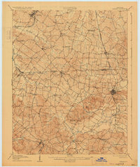
The town of Sebree anchors this 1904 survey, revealing a landscape defined by its early Kentucky rail connections and rural hamlets. The Louisville and Nashville line runs through the eastern portion of the map, while the Illinois Central R R crosses the northwest corner near Corydon. The region is a dense network of small communities and family-named landmarks, such as Poole, Tilden, and Wanamaker, which served as local hubs before the consolidation of rural services. Significant community markers like Cherry Hill Church and the Oakland Schoolhouse indicate the social centers of the day. The topography is notable for its creek systems, including Highland Creek and Beaverdam Creek, and prominent elevations such as Bald Knob and Beal Hill. The presence of Sebree Springs near the main town highlights the importance of natural water sources to early settlement patterns in this part of Webster and Henderson counties.
Find a feature on this map
50 named features on this map. Tap any name to fly to it.
Don’t see what you’re looking for? This feature index may not catch every label — zoom into the map to look around manually.
Map Details
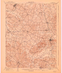
Editions of this 1906 Sebree Map
3 editions found
Other maps of this area

1905 · Newburg
USGS Topo · 1:62,500

1907 · Earlington
USGS Topo · 1:48,000

1907 · Morganfield
USGS Topo · 1:62,500

1908 · Calhoun
USGS Topo · 1:62,500

1909 · Earlington
USGS Topo · 1:62,500

1909 · Madisonville
USGS Topo · 1:62,500

1909 · Providence
USGS Topo · 1:62,500

1914 · Henderson
USGS Topo · 1:48,000

1916 · Henderson
USGS Topo · 1:62,500

1917 · Uniontown
USGS Topo · 1:62,500