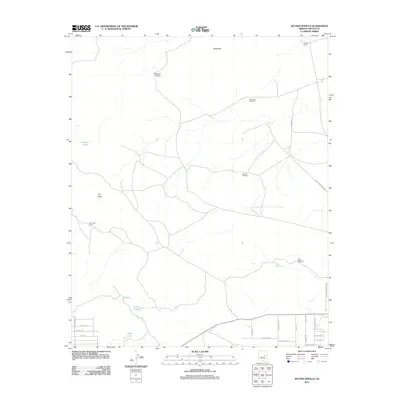
2011 Map of Second Knolls
USGS Topo · Published 2011About this map
Second Knolls rises above a landscape defined by ranching infrastructure and intermittent water sources in Navajo County. This area reveals a network of windmills and water management essential for high-desert survival, including the Sevenmile Windmill, Sixmile Windmill, and Four Section Windmill. The presence of the John Hunt Cabin near the western edge of the sheet suggests early homesteading or seasonal ranching use, while the Ninemile Corral at the northern boundary points to the area's ongoing importance for livestock management.
Find a feature on this map
31 named features on this map. Tap any name to fly to it.
Don’t see what you’re looking for? This feature index may not catch every label — zoom into the map to look around manually.
Map Details
Editions of this 2011 Second Knolls Map
This is the sole edition of this map. No revisions or reprints were ever made.
Other maps of this area

1886 · Holbrook
USGS Topo · 1:250,000

1893 · Holbrook
USGS Topo · 1:250,000

1954 · Holbrook
USGS Topo · 1:250,000

1957 · Holbrook
USGS Topo · 1:250,000

1958 · Holbrook
USGS Topo · 1:250,000

1960 · Holbrook
USGS Topo · 1:250,000

1961 · Clay Springs
USGS Topo · 1:62,500
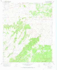
1970 · Cactus Flat
USGS Topo · 1:24,000
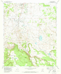
1970 · Taylor
USGS Topo · 1:24,000
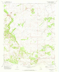
1970 · Second Knolls
USGS Topo · 1:24,000