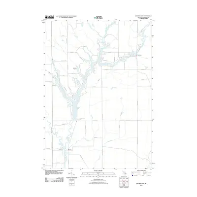
2011 Map of Secord Lake
USGS Topo · Published 2011About this map
The Tittabawassee River watershed dominates this part of Gladwin County, where the confluence of several branches forms the expansive Secord Lake. The settlement of Secord sits near the southern end of the lake, serving as a focal point for a landscape defined by water and woods. The mapping shows a complex network of recreational and residential development along the shoreline, including the Secord Lake Campground and numerous named access roads like Lundy and Pineway Dr.
Find a feature on this map
63 named features on this map. Tap any name to fly to it.
Don’t see what you’re looking for? This feature index may not catch every label — zoom into the map to look around manually.
Map Details
Editions of this 2011 Secord Lake Map
This is the sole edition of this map. No revisions or reprints were ever made.
Other maps of this area

1954 · Traverse City
USGS Topo · 1:250,000

1954 · Midland
USGS Topo · 1:250,000

1958 · Traverse City
USGS Topo · 1:250,000

1958 · Midland
USGS Topo · 1:250,000

1959 · Midland
USGS Topo · 1:250,000

1966 · Midland
USGS Topo · 1:250,000

1968 · Sterling SW
USGS Topo · 1:24,000

1968 · Sterling NW
USGS Topo · 1:24,000

1969 · Edwards
USGS Topo · 1:24,000

1969 · Butman
USGS Topo · 1:24,000