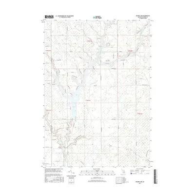
2017 Map of Secord Lake
USGS Topo · Published 2017About this map
The confluence of the Middle Branch Tittabawassee River, West Branch Tittabawassee River, and East Branch Tittabawassee River creates the expansive waters of Secord Lake in Gladwin County. This 2017 survey details a landscape defined by the Tittabawassee River system and its various impoundments, including the northern reach of Smallwood Lake. The surrounding terrain is marked by numerous residential developments and private lakefront tracts, with road names like Whispering Pines Dr and Four Seasons Dr suggesting the area's role as a recreation and summer home destination.
Find a feature on this map
75 named features on this map. Tap any name to fly to it.
Don’t see what you’re looking for? This feature index may not catch every label — zoom into the map to look around manually.
Map Details
Editions of this 2017 Secord Lake Map
This is the sole edition of this map. No revisions or reprints were ever made.
Other maps of this area

1954 · Traverse City
USGS Topo · 1:250,000

1954 · Midland
USGS Topo · 1:250,000

1958 · Traverse City
USGS Topo · 1:250,000

1958 · Midland
USGS Topo · 1:250,000

1959 · Midland
USGS Topo · 1:250,000

1966 · Midland
USGS Topo · 1:250,000

1968 · Sterling SW
USGS Topo · 1:24,000

1968 · Sterling NW
USGS Topo · 1:24,000

1969 · Edwards
USGS Topo · 1:24,000

1969 · Butman
USGS Topo · 1:24,000