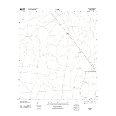
2012 Map of Secotan
USGS Topo · Published 2012About this map
Secotan serves as a central landmark in this portion of Taylor County, characterized by a sparse settlement pattern and a network of named rural roads. The landscape is defined by the winding course of the Econfina River in the northwest and Rocky Cr to the southeast, illustrating the well-watered pine flatwoods typical of this region. The Secotan Lookout Tower stands as a prominent vertical marker, a reminder of the area's forestry management history. Numerous local road names such as Grantham Hill Rd, Harrison Blue Rd, and Sue Pridgeon Rd reflect long-standing family ties to the land. This survey provides a clear view of the rural infrastructure as it existed in the early 21st century, showing how modern corridors intersect with traditional backroads like Mutt Rd and Tower Rd.
Find a feature on this map
19 named features on this map. Tap any name to fly to it.
Don’t see what you’re looking for? This feature index may not catch every label — zoom into the map to look around manually.
Map Details
Editions of this 2012 Secotan Map
This is the sole edition of this map. No revisions or reprints were ever made.
Other maps of this area

1952 · Secotan
USGS Topo · 1:24,000

1954 · Johnson Hammock
USGS Topo · 1:24,000

1954 · Boyd
USGS Topo · 1:24,000

1954 · Hampton Springs
USGS Topo · 1:24,000

1954 · Secotan
USGS Topo · 1:24,000

1954 · Valdosta
USGS Topo · 1:250,000

1955 · Perry
USGS Topo · 1:24,000

1955 · Shady Grove
USGS Topo · 1:24,000

1955 · Lamont SE
USGS Topo · 1:24,000

1955 · Greenville SE
USGS Topo · 1:24,000