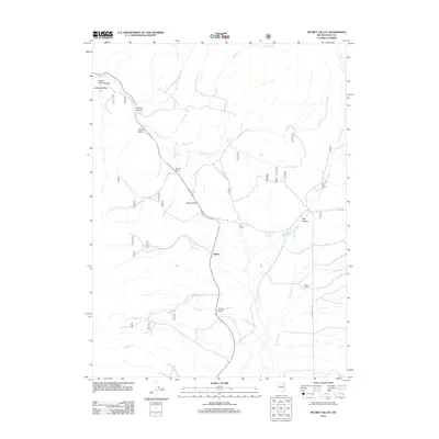
2012 Map of Secret Valley
USGS Topo · Published 2012About this map
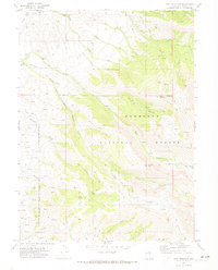
Secret Pass serves as a vital corridor through the high terrain of Elko County, anchoring the geography of this high-desert basin. The landscape is defined by the drainage systems of the Franklin River and numerous mountain creeks such as Krenka Cr and Wright Cr. This 2012 survey illustrates a sparse ranching community, where long-established holdings like the Murphy Ranch and Duval Ranch are situated near the small settlement of Arthur. The presence of Humboldt Pass and Devils Slide Canyon in the northwest corner highlights the elevation changes that dictate local travel routes. These traditional ranching lands are connected by a network of forest and local roads, including N Ruby Valley Rd, which follow the natural contours of Cow Hollow and the surrounding canyons.
Find a feature on this map
42 named features on this map. Tap any name to fly to it.
Don’t see what you’re looking for? This feature index may not catch every label — zoom into the map to look around manually.
Map Details
Editions of this 2012 Secret Valley Map
This is the sole edition of this map. No revisions or reprints were ever made.
Other maps of this area

1935 · Halleck
USGS Topo · 1:125,000

1955 · Elko
USGS Topo · 1:250,000

1958 · Elko
USGS Topo · 1:250,000

1962 · Elko
USGS Topo · 1:250,000

1962 · Lamoille
USGS Topo · 1:62,500

1965 · Elko
USGS Topo · 1:250,000
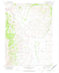
1969 · Secret Valley
USGS Topo · 1:24,000
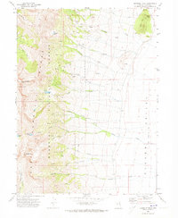
1969 · Humboldt Peak
USGS Topo · 1:24,000
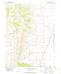
1969 · Gordon Creek
USGS Topo · 1:24,000
1969 · Tent Mountain
USGS Topo · 1:24,000