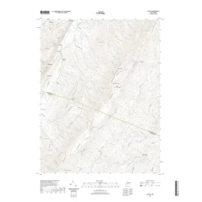
2019 Map of Sector
USGS Topo · Published 2019About this map
The Trough, a dramatic gorge carved by the S Branch Potomac River, serves as the primary topographical focus in this corner of the Potomac Highlands. The landscape is defined by the parallel ridges of Mill Creek Mtn and South Branch Mtn, which isolate small valleys and pockets of settlement such as Sector and Wickham. In the northwestern reaches, the Saint Luke Presbyterian Church Cem provides a focal point for local genealogy, situated near the banks of the river. To the southeast, the village of Inkerman sits at the foot of the mountains along the N River. The map reveals a network of old transport routes, including numerous instances of a Haul Road or Trail winding through the uplands of Nathaniel Mtn, suggesting a legacy of timber or resource extraction throughout these ridges near the Hampshire and Hardy County line.
Find a feature on this map
62 named features on this map. Tap any name to fly to it.
Don’t see what you’re looking for? This feature index may not catch every label — zoom into the map to look around manually.
Map Details
Editions of this 2019 Sector Map
This is the sole edition of this map. No revisions or reprints were ever made.
Other maps of this area

1891 · Romney
USGS Topo · 1:125,000

1920 · Moorefield
USGS Topo · 1:62,500

1920 · Keyser
USGS Topo · 1:62,500

1921 · Keyser
USGS Topo · 1:48,000

1921 · Hanging Rock
USGS Topo · 1:48,000

1921 · Moorefield
USGS Topo · 1:48,000

1922 · Moorefield
USGS Topo · 1:62,500

1922 · Wardensville
USGS Topo · 1:62,500

1922 · Keyser
USGS Topo · 1:62,500

1923 · Hanging Rock
USGS Topo · 1:62,500