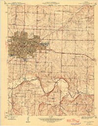
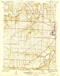
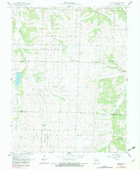
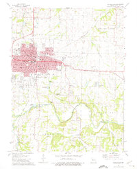
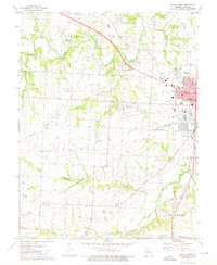
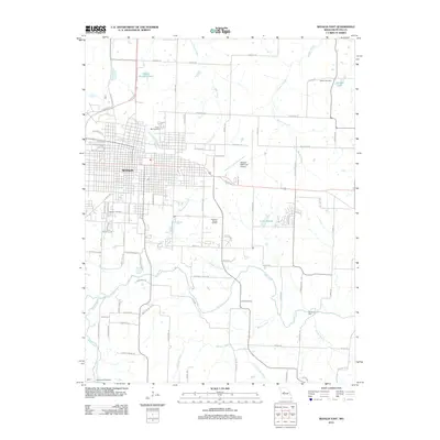
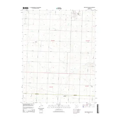
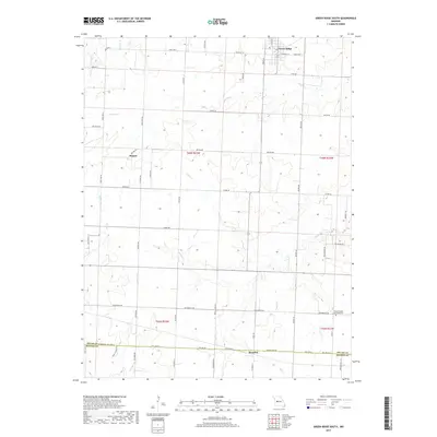
1946 Map of Sedalia East
USGS Topo · Published 1946About this map
Sedalia serves as a major railroad and industrial hub in the mid-1940s, dominated by the sprawling infrastructure of the Missouri Pacific and Missouri Pacific Shops. The city's growth is anchored by its intersection with the Georgetown Branch and the M K T Depot, which fueled the expansion of neighborhoods containing numerous educational and civic institutions like Smith Cotton High Sch and Liberty Park. The landscape outside the city grid transitions into the rolling terrain of the Flat Creek valley, where the rural economy is marked by scattered one-room schoolhouses like Striped College Sch and Maplewood Sch. The map reveals a deeply established social fabric through its varied spiritual and memorial sites, ranging from the Hebrew Cem and Crown Hill Cem near the city center to the remote Goodwill Chapel and Pleasant Hill Ch further south.
Find a feature on this map
53 named features on this map. Tap any name to fly to it.
Don’t see what you’re looking for? This feature index may not catch every label — zoom into the map to look around manually.
Map Details
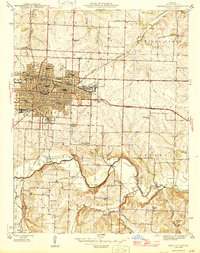
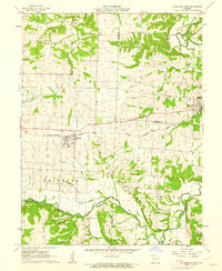
Editions of this 1946 Sedalia East Map
2 editions found
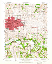
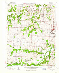
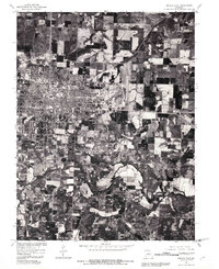
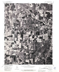
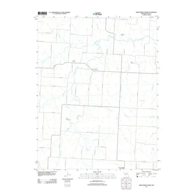
Historical Maps of Sedalia Through Time
47 maps found
1944 Sedalia East
Pettis County, MO
1944 Sedalia West
Pettis County, MO
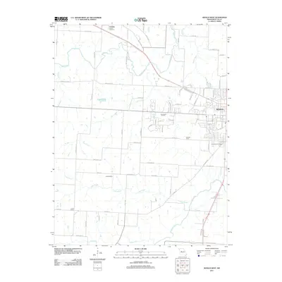
1946 Sedalia East
Pettis County, MO
1946 Sedalia West
Pettis County, MO
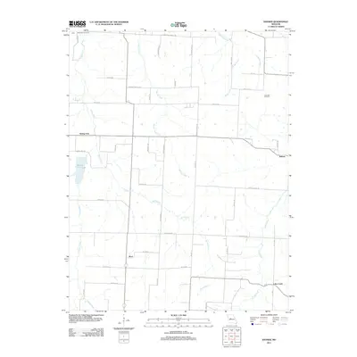
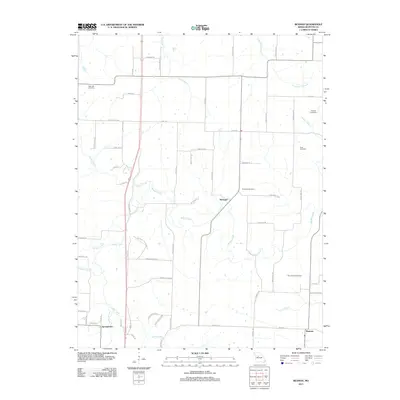
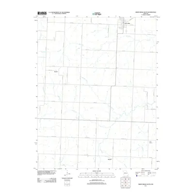
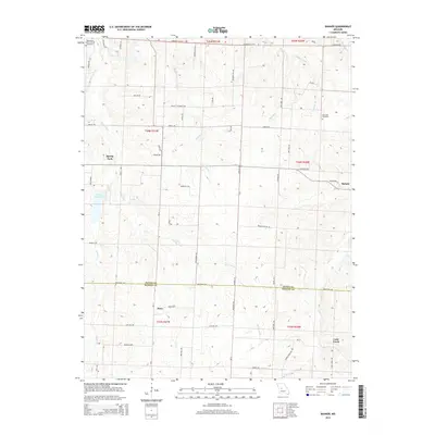
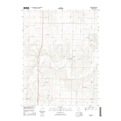
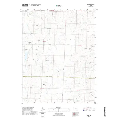
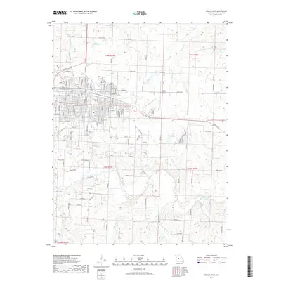
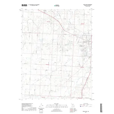
1953 Beaman
Pettis County, MO
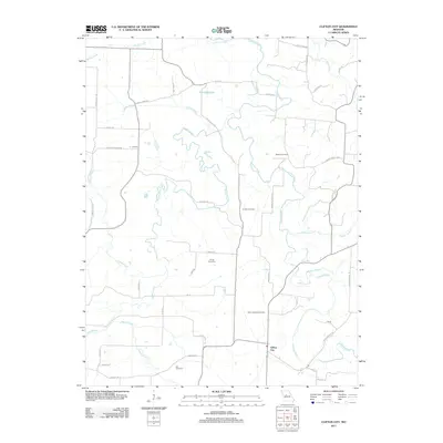
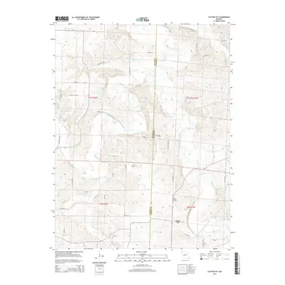
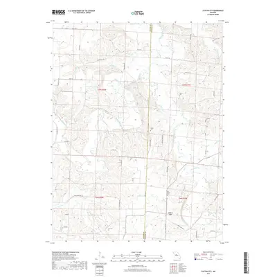
1953 Clifton City
Pettis County, MO
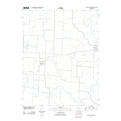
1960 Otterville West
Pettis County, MO
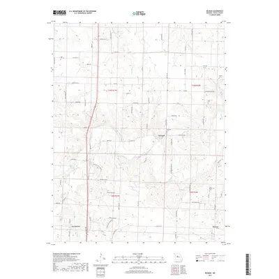
1961 Bahner
Pettis County, MO
1961 Otterville West
Pettis County, MO
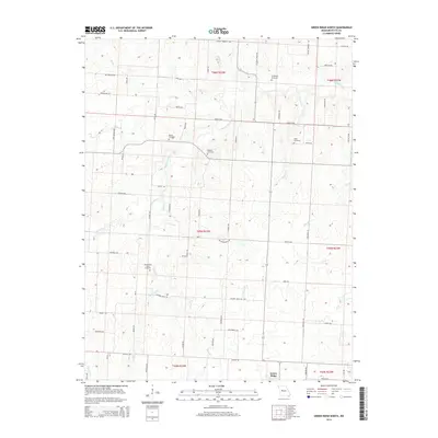
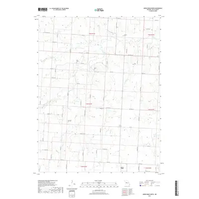
1973 Green Ridge North
Pettis County, MO
1973 Green Ridge South
Pettis County, MO
1973 Sedalia East
Pettis County, MO
1973 Sedalia West
Pettis County, MO
1980 Sedalia East
Pettis County, MO
1980 Sedalia West
Pettis County, MO
2011 Bahner
Pettis County, MO
2011 Beaman
Pettis County, MO
2011 Clifton City
Pettis County, MO
2011 Green Ridge North
Pettis County, MO
2011 Green Ridge South
Pettis County, MO
2011 Otterville West
Pettis County, MO
2011 Sedalia East
Pettis County, MO
2011 Sedalia West
Pettis County, MO
2014 Bahner
Pettis County, MO
2014 Beaman
Pettis County, MO
2014 Clifton City
Pettis County, MO
2014 Green Ridge North
Pettis County, MO
2014 Green Ridge South
Pettis County, MO
2014 Otterville West
Pettis County, MO
2014 Sedalia East
Pettis County, MO
2014 Sedalia West
Pettis County, MO
2017 Bahner
Pettis County, MO
2017 Beaman
Pettis County, MO
2017 Clifton City
Pettis County, MO
2017 Green Ridge North
Pettis County, MO
2017 Green Ridge South
Pettis County, MO
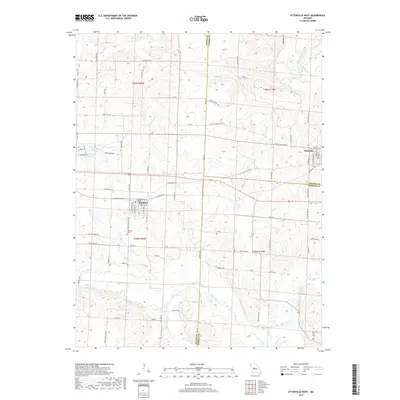
2017 Otterville West
Pettis County, MO
2017 Sedalia East
Pettis County, MO
2017 Sedalia West
Pettis County, MO
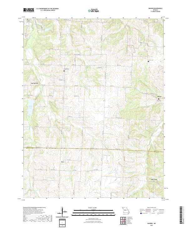
2021 Bahner
Pettis County, MO
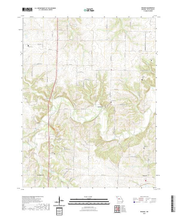
2021 Beaman
Pettis County, MO
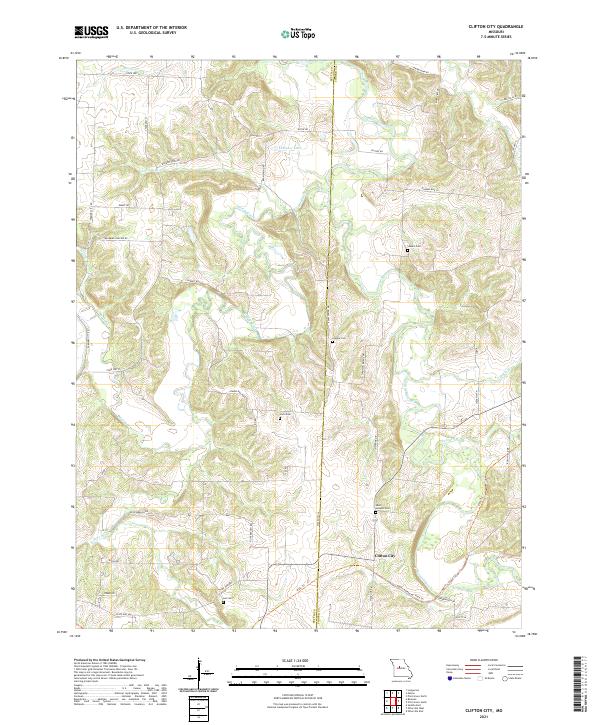
2021 Clifton City
Pettis County, MO
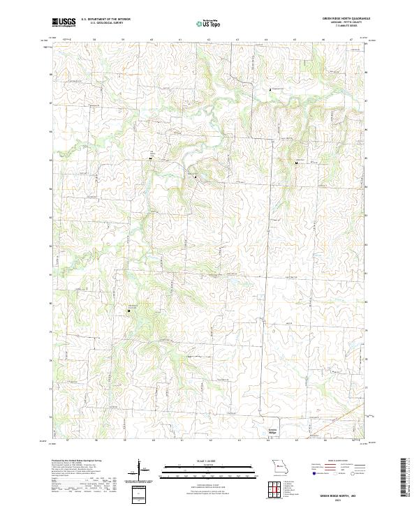
2021 Green Ridge North
Pettis County, MO
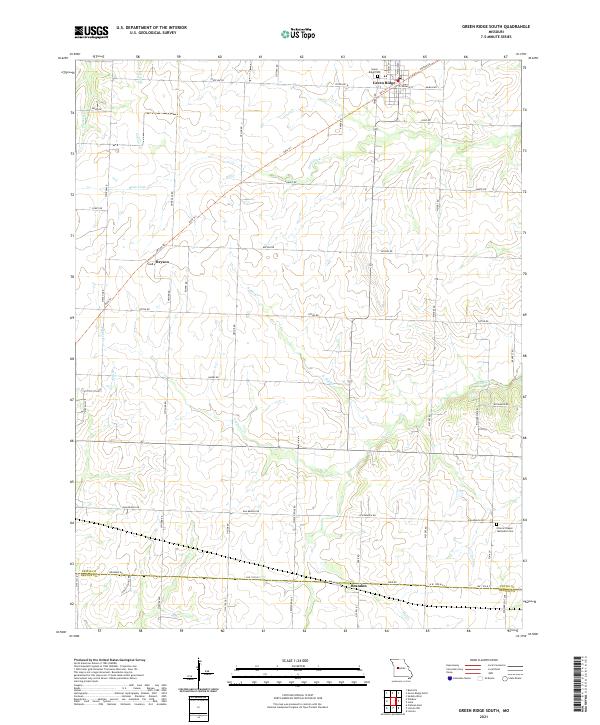
2021 Green Ridge South
Pettis County, MO
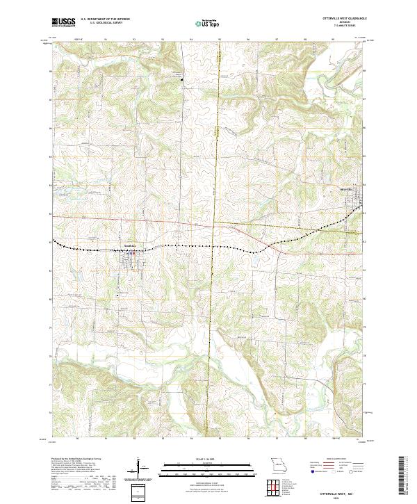
2021 Otterville West
Pettis County, MO
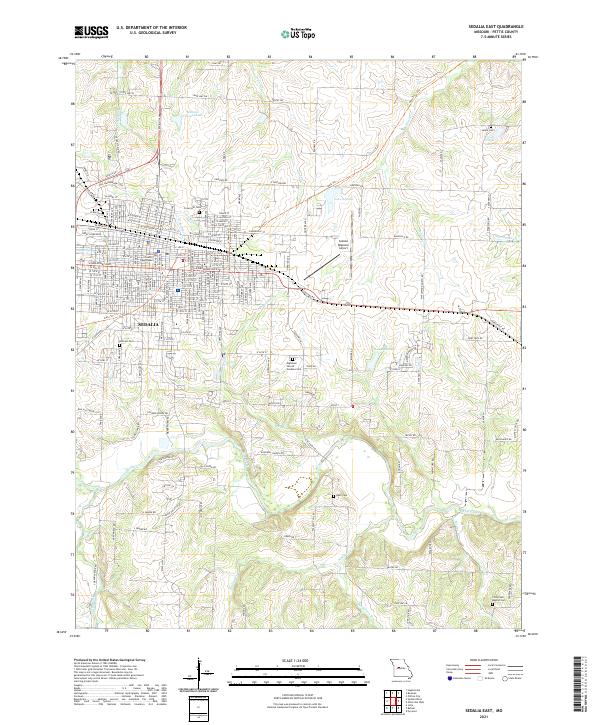
2021 Sedalia East
Pettis County, MO
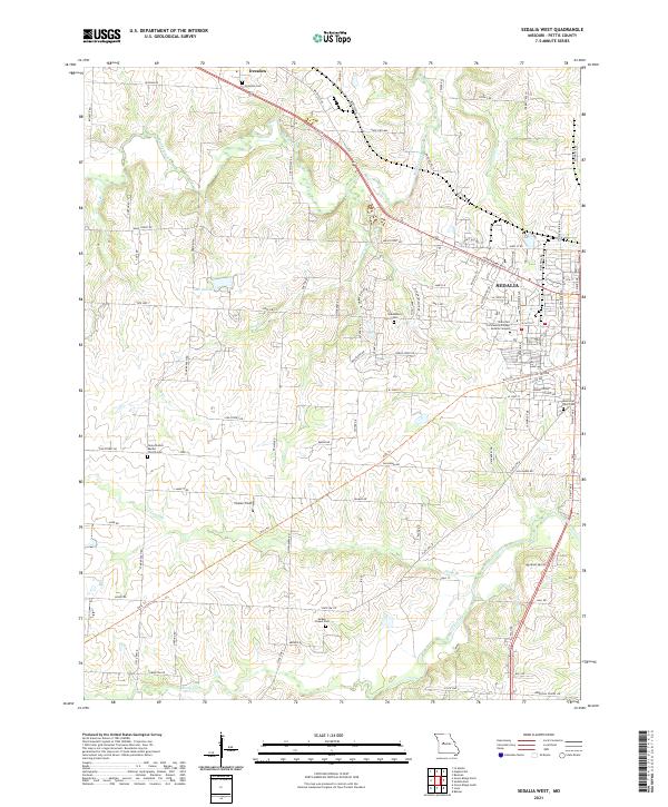
2021 Sedalia West
Pettis County, MO