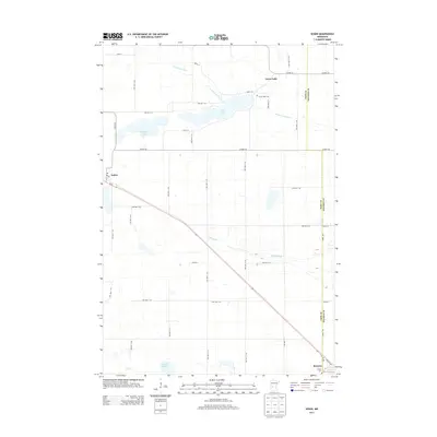
2013 Map of Sedan
USGS Topo · Published 2013About this map
The village of Sedan sits at a geographic crossroads in the western portion of this Central Minnesota landscape, characterized by its position along the MN-55 corridor. To the northeast, the settlement of Grove Lake occupies the shoreline of its namesake, Grove Lake, where the N Fork Crow River begins its winding course through the prairie. This area reflects a long-established agricultural grid, with numerous township roads like TWP HWY T-136 and TWP HWY T-42 connecting isolated farmsteads and rural landmarks.
Find a feature on this map
46 named features on this map. Tap any name to fly to it.
Don’t see what you’re looking for? This feature index may not catch every label — zoom into the map to look around manually.
Map Details
Editions of this 2013 Sedan Map
This is the sole edition of this map. No revisions or reprints were ever made.
Other maps of this area

1953 · Saint Cloud
USGS Topo · 1:250,000

1957 · Saint Cloud
USGS Topo · 1:250,000

1958 · Saint Cloud
USGS Topo · 1:250,000

1965 · Westport
USGS Topo · 1:24,000

1965 · Padua
USGS Topo · 1:24,000

1965 · Sedan
USGS Topo · 1:24,000

1965 · Raymond Lake
USGS Topo · 1:24,000

1967 · Belgrade
USGS Topo · 1:24,000

1967 · Lake Johanna
USGS Topo · 1:24,000

1968 · Terrace
USGS Topo · 1:24,000