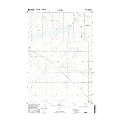
2016 Map of Sedan
USGS Topo · Published 2016About this map
Sedan sits at the intersection of local township roads in this prairie landscape, while Brooten anchors the southeastern corner along the county boundary. The area is defined by a dense network of glacial water bodies and drainage ways, including the prominent Grove Lake and its associated Grove Lake Cem. The terrain is marked by the meandering N Fork Crow River and numerous sloughs and brooks that illustrate the intricate hydrology of the region.
Find a feature on this map
59 named features on this map. Tap any name to fly to it.
Don’t see what you’re looking for? This feature index may not catch every label — zoom into the map to look around manually.
Map Details
Editions of this 2016 Sedan Map
This is the sole edition of this map. No revisions or reprints were ever made.
Other maps of this area

1953 · Saint Cloud
USGS Topo · 1:250,000

1957 · Saint Cloud
USGS Topo · 1:250,000

1958 · Saint Cloud
USGS Topo · 1:250,000

1965 · Westport
USGS Topo · 1:24,000

1965 · Padua
USGS Topo · 1:24,000

1965 · Sedan
USGS Topo · 1:24,000

1965 · Raymond Lake
USGS Topo · 1:24,000

1967 · Belgrade
USGS Topo · 1:24,000

1967 · Lake Johanna
USGS Topo · 1:24,000

1968 · Terrace
USGS Topo · 1:24,000