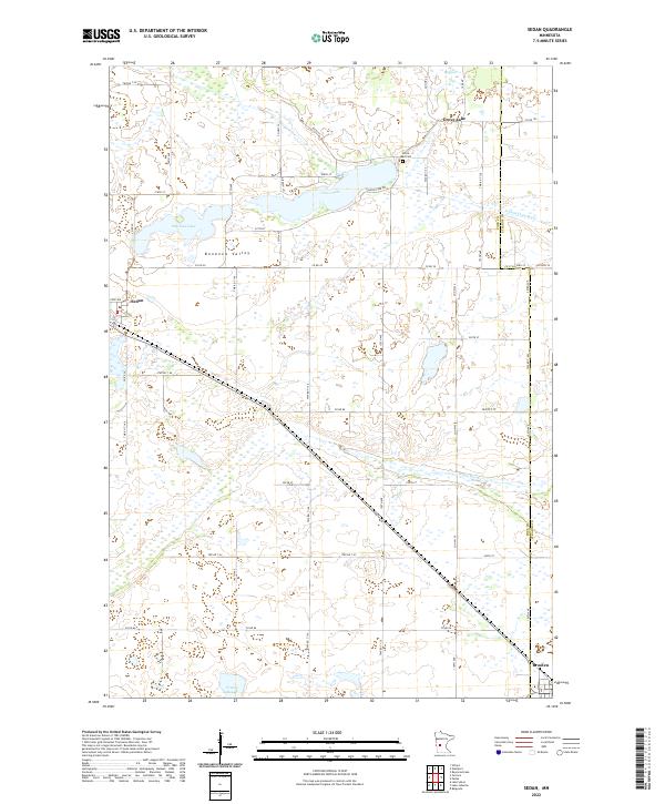
2022 Map of Sedan
USGS Topo · Published 2022About this map
Bonanza Valley defines the landscape of this region along the border of Pope and Stearns counties, where the prairie transitions into a network of glacial lakes and wetlands. The small settlement of Sedan sits in the west, while the community of Grove Lake occupies the northern edge near the eponymous Grove Lake and the Grove Lake Cem. The hydrography of the area is particularly complex, featuring the headwaters of Sedan Brook and the winding course of the N Fork Crow River. A diagonal rail line cuts across the southern portion of the sheet, linking Sedan to Brooten in the southeast. This modern survey reflects the enduring rural character of the area, maintaining its agricultural grid and preserving historical landmarks like McCloud Lake and Tracey Slough.
Find a feature on this map
59 named features on this map. Tap any name to fly to it.
Don’t see what you’re looking for? This feature index may not catch every label — zoom into the map to look around manually.
Map Details
Editions of this 2022 Sedan Map
This is the sole edition of this map. No revisions or reprints were ever made.
Other maps of this area

1953 · Saint Cloud
USGS Topo · 1:250,000

1957 · Saint Cloud
USGS Topo · 1:250,000

1958 · Saint Cloud
USGS Topo · 1:250,000

1965 · Westport
USGS Topo · 1:24,000

1965 · Padua
USGS Topo · 1:24,000

1965 · Sedan
USGS Topo · 1:24,000

1965 · Raymond Lake
USGS Topo · 1:24,000

1967 · Belgrade
USGS Topo · 1:24,000

1967 · Lake Johanna
USGS Topo · 1:24,000

1968 · Terrace
USGS Topo · 1:24,000