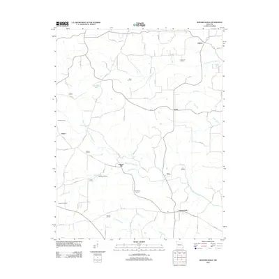
2012 Map of Sedgewickville
USGS Topo · Published 2012About this map
Sedgewickville and the surrounding rural landscape of Bollinger County are defined by a network of creeks and small settlements. The area around Bollinger Mill serves as a focal point for the local history of the Whitewater River basin, where Upper Whitewater Creek and Bollinger Creek converge. This 2012 survey illustrates a topography of ridge-and-valley agriculture, where family-named cemeteries such as Meyer Cemetery, Johnson Cemetery, and Old Bollinger Cemetery are preserved across the countryside.
Find a feature on this map
71 named features on this map. Tap any name to fly to it.
Don’t see what you’re looking for? This feature index may not catch every label — zoom into the map to look around manually.
Map Details
Editions of this 2012 Sedgewickville Map
This is the sole edition of this map. No revisions or reprints were ever made.
Other maps of this area

1910 · Higdon
USGS Topo · 1:62,500

1923 · Perryville
USGS Topo · 1:62,500

1924 · Perryville
USGS Topo · 1:62,500

1933 · Marble Hill
USGS Topo · 1:62,500

1933 · Marquand
USGS Topo · 1:62,500

1937 · Marble Hill
USGS Topo · 1:62,500

1938 · Marquand
USGS Topo · 1:62,500

1949 · Paducah
USGS Topo · 1:250,000

1949 · Rolla
USGS Topo · 1:250,000

1950 · Paducah
USGS Topo · 1:250,000