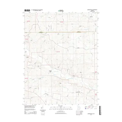
2015 Map of Sedgewickville
USGS Topo · Published 2015About this map
Sedgewickville and Millheim serve as focal points for this rural landscape where Perry and Bollinger counties meet. The area is defined by a dense network of watercourses, most notably the meandering paths of Upper Whitewater Creek and S Fork Apple Cr. This terrain is deeply historical, marked by numerous family and community burial sites such as the Old Bollinger Cemetery, Jones Cemetery, and Statler Cemetery, which suggest generations of agricultural settlement. Local industry and social hubs are anchored by landmarks like Bollinger Mill and the enclave of Schumer Springs. The topography is etched with small valleys like Lix Hollow and local roads such as CO Road 200 and CO Road 621, tracing the ridges and stream beds that have shaped movement through these Ozark foothills for over a century.
Find a feature on this map
78 named features on this map. Tap any name to fly to it.
Don’t see what you’re looking for? This feature index may not catch every label — zoom into the map to look around manually.
Map Details
Editions of this 2015 Sedgewickville Map
This is the sole edition of this map. No revisions or reprints were ever made.
Other maps of this area

1910 · Higdon
USGS Topo · 1:62,500

1923 · Perryville
USGS Topo · 1:62,500

1924 · Perryville
USGS Topo · 1:62,500

1933 · Marble Hill
USGS Topo · 1:62,500

1933 · Marquand
USGS Topo · 1:62,500

1937 · Marble Hill
USGS Topo · 1:62,500

1938 · Marquand
USGS Topo · 1:62,500

1949 · Paducah
USGS Topo · 1:250,000

1949 · Rolla
USGS Topo · 1:250,000

1950 · Paducah
USGS Topo · 1:250,000