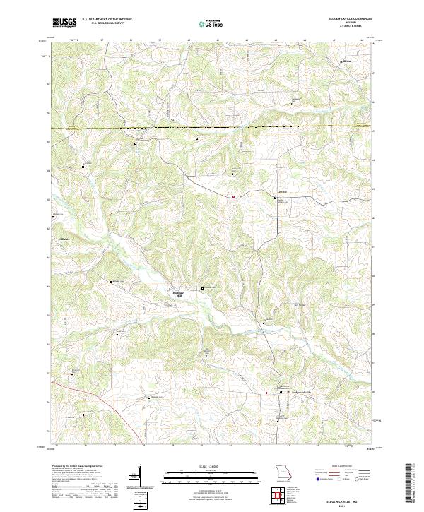
2021 Map of Sedgewickville
USGS Topo · Published 2021About this map
Sedgewickville and the surrounding rural communities of Bollinger and Perry Counties are centered around the winding course of Upper Whitewater Creek and Buck Cr. This landscape is defined by its deep genealogical roots, visible through a high concentration of family and community burial grounds such as Old Bollinger Cem, Grindstaff Cem, and Jones Cem. The area around Bollinger Mill and Lixville maintains a layout characteristic of early Missouri settlement patterns, where small hamlets emerged at the intersections of local county roads and valley hollows like Lix Hollow.
Find a feature on this map
89 named features on this map. Tap any name to fly to it.
Don’t see what you’re looking for? This feature index may not catch every label — zoom into the map to look around manually.
Map Details
Editions of this 2021 Sedgewickville Map
This is the sole edition of this map. No revisions or reprints were ever made.
Other maps of this area

1910 · Higdon
USGS Topo · 1:62,500

1923 · Perryville
USGS Topo · 1:62,500

1924 · Perryville
USGS Topo · 1:62,500

1933 · Marble Hill
USGS Topo · 1:62,500

1933 · Marquand
USGS Topo · 1:62,500

1937 · Marble Hill
USGS Topo · 1:62,500

1938 · Marquand
USGS Topo · 1:62,500

1949 · Paducah
USGS Topo · 1:250,000

1949 · Rolla
USGS Topo · 1:250,000

1950 · Paducah
USGS Topo · 1:250,000