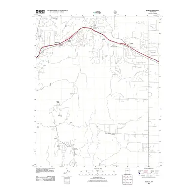
2011 Map of Sedillo
USGS Topo · Published 2011About this map
Sedillo Hill dominates the upper terrain of this landscape, where Interstate 40 cuts through the high desert canyons east of Albuquerque. The mapping reflects a mix of residential expansion and historical land use, with small settlements like Cedar Crest and Zamora flanking the Tijeras Arroyo. Higher-elevation communities are linked by winding forest roads such as Forest Rd 252 and Forest Rd 462, which traverse the slopes near Cedro Peak.
Find a feature on this map
59 named features on this map. Tap any name to fly to it.
Don’t see what you’re looking for? This feature index may not catch every label — zoom into the map to look around manually.
Map Details
Editions of this 2011 Sedillo Map
This is the sole edition of this map. No revisions or reprints were ever made.
Other maps of this area
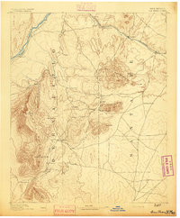
1892 · San Pedro
USGS Topo · 1:125,000
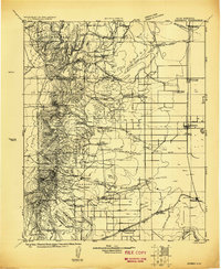
1917 · Estancia
USGS Topo · 1:125,000
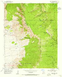
1954 · Sandia Crest
USGS Topo · 1:24,000
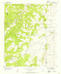
1954 · Chilili
USGS Topo · 1:24,000
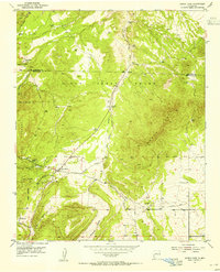
1954 · Sandia Park
USGS Topo · 1:24,000
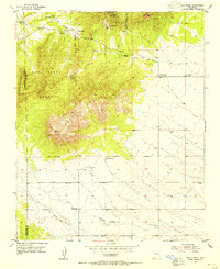
1954 · San Pedro
USGS Topo · 1:24,000
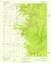
1954 · Mount Washington
USGS Topo · 1:24,000
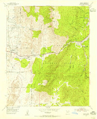
1954 · Tijeras
USGS Topo · 1:24,000
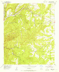
1954 · Sedillo
USGS Topo · 1:24,000
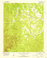
1954 · Escabosa
USGS Topo · 1:24,000